


GR10-1

viaul
User GUIDE

Length
16.2 km

Max alt
2484 m

Uphill gradient
750 m
Km-Effort
26 km

Min alt
2018 m

Downhill gradient
719 m
Boucle
No
Creation date :
2022-02-14 17:34:05.794
Updated on :
2022-02-14 17:34:23.954
5h55
Difficulty : Very difficult

FREE GPS app for hiking
 SityTrail
IGN / Geographical institutes
SityTrail Plus
The world is yours!
About
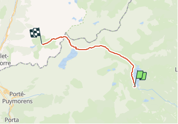
Trail Walking of 16.2 km to be discovered at Occitania, Pyrénées-Orientales, Angoustrine-Villeneuve-des-Escaldes. This trail is proposed by viaul.
Positioning
Country:
France
Region :
Occitania
Department/Province :
Pyrénées-Orientales
Municipality :
Angoustrine-Villeneuve-des-Escaldes
Location:
Unknown
Start:(Dec)
Start:(UTM)
417647 ; 4712477 (31T) N.
Comments