


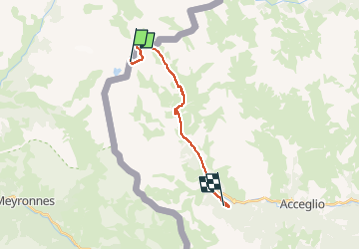

13 km | 32 km-effort

Tous les sentiers balisés d’Europe PRO


FREE GPS app for hiking
 SityTrail
IGN / Geographical institutes
SityTrail World
The world is yours!
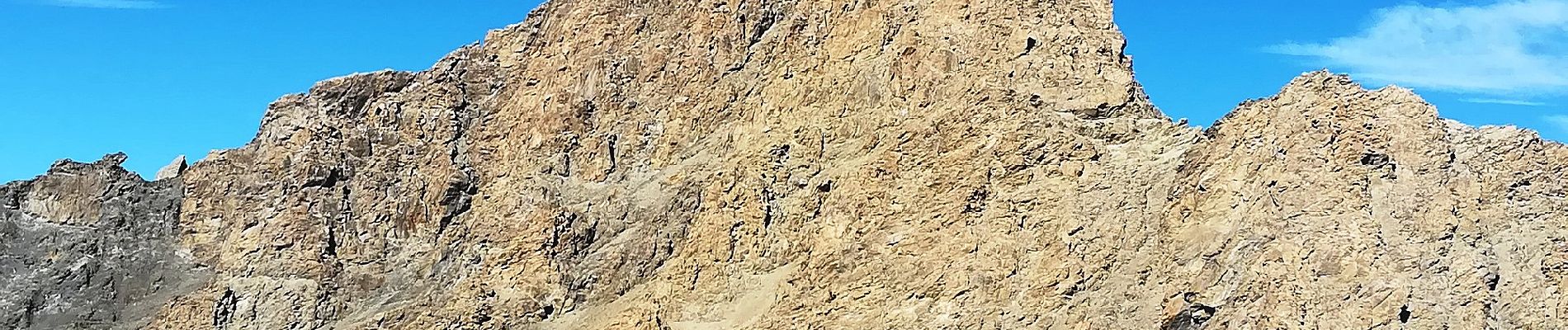
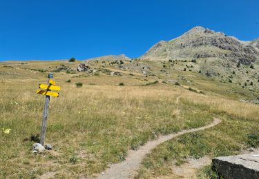
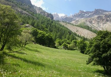
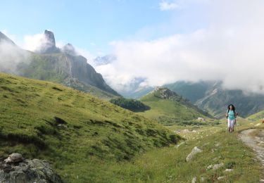
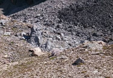
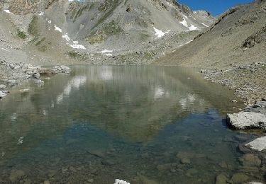
Trail On foot of 15.3 km to be discovered at Provence-Alpes-Côte d'Azur, Alpes-de-Haute-Provence, Saint-Paul-sur-Ubaye. This trail is proposed by SityTrail - itinéraires balisés pédestres.
Symbol: red bar on blue background


Walking
Walking
Walking

Walking
Walking
Walking
Walking
Walking