


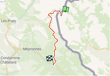

15.3 km | 23 km-effort

User


FREE GPS app for hiking
 SityTrail
IGN / Geographical institutes
SityTrail World
The world is yours!
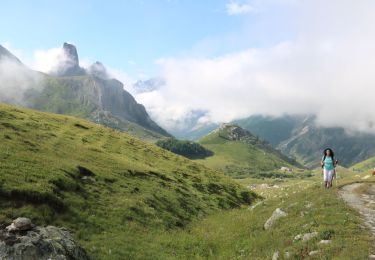
Trail Walking of 17.4 km to be discovered at Piemont, Cuneo, Acceglio. This trail is proposed by tchoua.
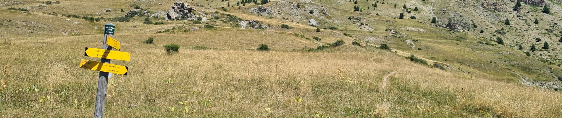
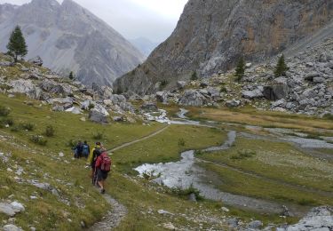
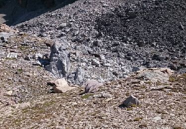
après bivouac Barenghi le 2e jour est plus tranquille pour la descente sur Larche


On foot

Walking

Other activity
Walking
Walking
Walking
Walking