


IT-8

SityTrail - itinéraires balisés pédestres
Tous les sentiers balisés d’Europe GUIDE+
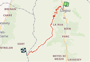

Length
12.4 km

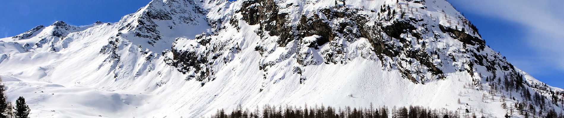
Max alt
2999 m

Uphill gradient
1459 m
Km-Effort
27 km

Min alt
1538 m

Downhill gradient
2 m
Boucle
No

Signpost
Creation date :
2022-02-15 00:16:59.7
Updated on :
2022-02-28 18:42:18.851
6h08
Difficulty : Medium

FREE GPS app for hiking
 SityTrail
IGN / Geographical institutes
SityTrail Plus
The world is yours!
About
Trail On foot of 12.4 km to be discovered at Aosta Valley, Unknown, Valsavarenche. This trail is proposed by SityTrail - itinéraires balisés pédestres.
Photos


Positioning
Country:
Italy
Region :
Aosta Valley
Department/Province :
Unknown
Municipality :
Valsavarenche
Location:
Unknown
Start:(Dec)
Start:(UTM)
360095 ; 5050360 (32T) N.
Comments