12C, Rif. Bezzi-Col Bassac Deré

SityTrail - itinéraires balisés pédestres
Tous les sentiers balisés d’Europe GUIDE+


Length
5.3 km

Max alt
3087 m

Uphill gradient
809 m
Km-Effort
13.4 km

Min alt
2271 m

Downhill gradient
5 m
Boucle
No

Signpost
Creation date :
2022-02-15 02:41:17.808
Updated on :
2022-02-28 23:31:12.201
3h02
Difficulty : Easy

FREE GPS app for hiking
 SityTrail
IGN / Geographical institutes
SityTrail Plus
The world is yours!
About
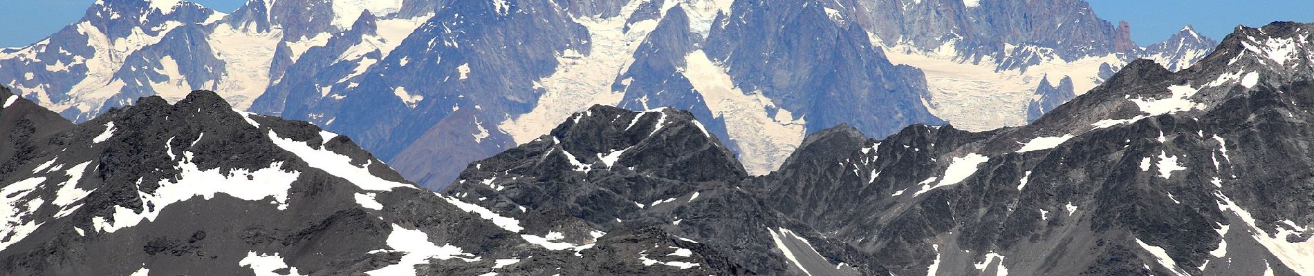
Trail On foot of 5.3 km to be discovered at Aosta Valley, Unknown, Valgrisenche. This trail is proposed by SityTrail - itinéraires balisés pédestres.
Photos


Positioning
Country:
Italy
Region :
Aosta Valley
Department/Province :
Unknown
Municipality :
Valgrisenche
Location:
Unknown
Start:(Dec)
Start:(UTM)
345260 ; 5044931 (32T) N.
Comments