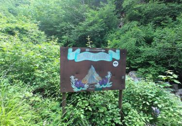
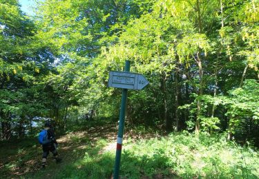
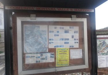
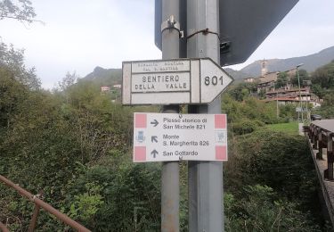
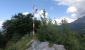
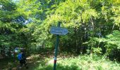
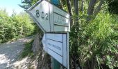
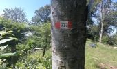
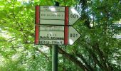
Trail On foot Carenno - Sentiero 801D: Convento del Pertus - Erve - Photo

Sentiero 801D: Convento del Pertus - Erve

Tous les sentiers balisés d’Europe GUIDE+

© OpenStreetMap contributors
Length
Length
4.1 km
Max alt
Max alt
1172 m
Uphill gradient
Uphill gradient
69 m
Km-Effort
Km-Effort  
6.9 km
Min alt
Min alt
595 m
Downhill gradient
Downhill gradient
636 m
Boucle
Boucle
No
Signpost
Signpost
Creation date :
2022-02-15 13:34:46.696
Updated on :
2022-03-01 12:23:40.649

(0 Reviews)

On foot
On foot
1h33
Difficulty : Easy

Scan this QR Code to open this trail in the SityTrail application

FREE GPS app for hiking

Logo SityTrail SityTrail
IGN / Geographical institutes

Download SityTrail from the App Store Download SityTrail from Google Play

Logo SityTrail SityTrail World
The world is yours!

Download SityTrail from the App Store Download SityTrail from Google Play Download SityTrail on Huawei AppGallery

About

Trail On foot of 4.1 km to be discovered at Lombardy, Lecco, Carenno. This trail is proposed by SityTrail - itinéraires balisés pédestres.

Description

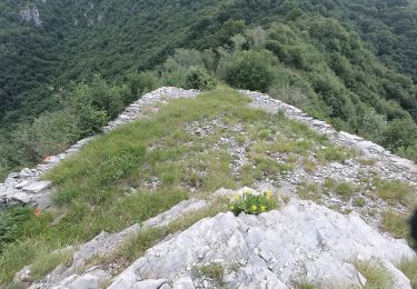
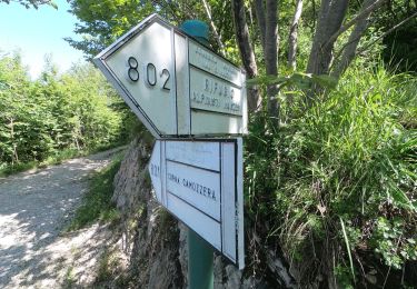
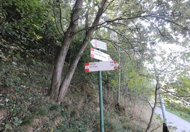
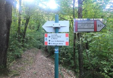
Dal Convento del Pertüs si scende per un paio di tornanti sulla strada bianca per poi imboccare, a destra in prossimità del secondo tornante, un'altra strada sterrata che procede a mezzacosta nel bosco. Il fondo diviene più accidentato quando la strada inizia a scendere verso il Passo della Pertulena. All'ingresso della radura teniamo la destra per un sentiero che procede a

Website: http://geoportale.caibergamo.it/it/sentiero/801D

Elevation profile

Photos

Positioning

Country:
Italy
Region :
Lombardy
Department/Province :
Lecco
Municipality :
Carenno
Location:
Unknown
Start:(UTM)
537213 ; 5073692 (32T) N.

Trails nearby

Trail On foot Calolziocorte - Sentiero 801: Sentiero della valle San Martino - Photo
On foot
GUIDE+

On foot

Very difficult
Calolziocorte, Lombardy, Lecco, Italy
28 km | 53 km-effort
12h 0min
No
Trail On foot Costa Valle Imagna - Sentiero 801C: Ripetitori (Valcava) - Convento del Pertus - Photo
On foot
GUIDE+

On foot

Easy
Costa Valle Imagna, Lombardy, Bergamo, Italy
4.8 km | 7.7 km-effort
1h 44min
No
Trail On foot Calolziocorte - Sentiero 801A: Ponte Serta (Calolziocorte) - Ponte Contrada (Torre de' Busi) - Photo
On foot
GUIDE+

On foot

Medium
Calolziocorte, Lombardy, Lecco, Italy
12.5 km | 21 km-effort
4h 52min
No
Trail On foot Torre de' Busi - Sentiero 822: Torre de Busi - Sopracornola - Photo
On foot
GUIDE+

On foot

Easy
Torre de' Busi, Lombardy, Bergamo, Italy
3.4 km | 7.1 km-effort
1h 36min
No
Trail On foot Erve - Sentiero 831: Cappella del Corno (Erve) - M. Spedone - Nesolio - Erve - Photo
On foot
GUIDE+

On foot

Easy
Erve, Lombardy, Lecco, Italy
6.2 km | 12.7 km-effort
2h 52min
Yes
Trail On foot Calolziocorte - Sentiero 812: Lorentino (Calolziocorte) - Passo della Pertulena - Photo
On foot
GUIDE+

On foot

Easy
Calolziocorte, Lombardy, Lecco, Italy
4.2 km | 10.8 km-effort
2h 26min
No
Trail On foot Carenno - Sentiero 811: Carenno - Colle di Sogno - Pertüs - Photo
On foot
GUIDE+

On foot

Easy
Carenno, Lombardy, Lecco, Italy
5.7 km | 11.6 km-effort
2h 37min
No
Trail On foot Caprino Bergamasco - Sentiero 808: Località Foppa - Coldara - Photo
On foot
GUIDE+

On foot

Easy
Caprino Bergamasco, Lombardy, Bergamo, Italy
5.4 km | 10 km-effort
2h 16min
No
Trail On foot Carenno - Sentiero 819: Carenno - Torre de' Busi - Photo
On foot
GUIDE+

On foot

Easy
Carenno, Lombardy, Lecco, Italy
4.5 km | 7.7 km-effort
1h 45min
No


Close
My subscriptions