


Col de Fouchy

apa
User
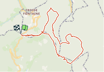

Length
11.8 km

Max alt
826 m

Uphill gradient
438 m
Km-Effort
17.6 km

Min alt
608 m

Downhill gradient
437 m
Boucle
Yes
Creation date :
2022-02-15 08:45:29.264
Updated on :
2022-02-15 13:52:39.341
3h23
Difficulty : Medium

FREE GPS app for hiking
 SityTrail
IGN / Geographical institutes
SityTrail Plus
The world is yours!
About
Trail Walking of 11.8 km to be discovered at Grand Est, Haut-Rhin, Rombach-le-Franc. This trail is proposed by apa.
Description
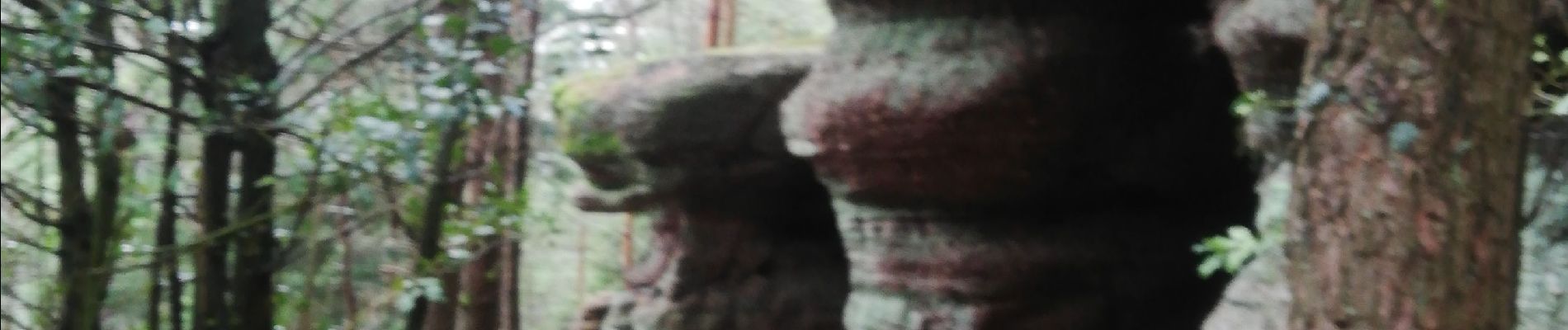
Découverte divers rochers
Rando. De 5heures
Photos


Positioning
Country:
France
Region :
Grand Est
Department/Province :
Haut-Rhin
Municipality :
Rombach-le-Franc
Location:
Unknown
Start:(Dec)
Start:(UTM)
370965 ; 5351633 (32U) N.
Comments