


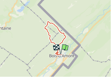

15.1 km | 21 km-effort

Tous les sentiers balisés d’Europe PRO


FREE GPS app for hiking
 SityTrail
IGN / Geographical institutes
SityTrail World
The world is yours!
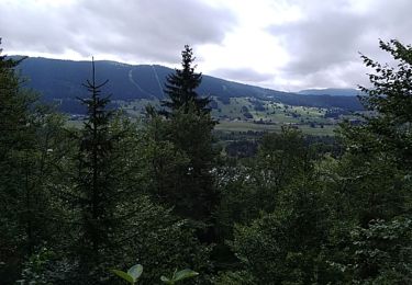
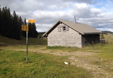
Trail On foot of 10.1 km to be discovered at Bourgogne-Franche-Comté, Jura, Bois-d'Amont. This trail is proposed by SityTrail - itinéraires balisés pédestres.
Trail created by Station des Rousses.


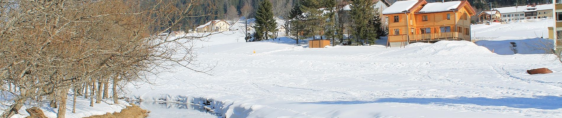
Walking

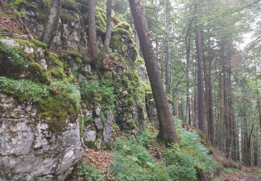
Walking

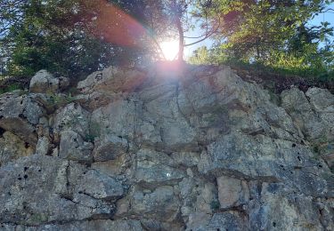
Walking

Walking

Walking
Walking
Walking
Walking
Walking