


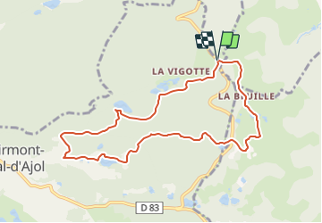


9.9 km | 13.1 km-effort

Tous les sentiers balisés d’Europe PRO


FREE GPS app for hiking
 SityTrail
IGN / Geographical institutes
SityTrail World
The world is yours!
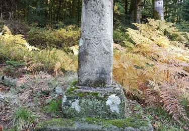
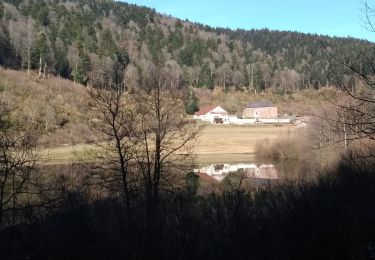
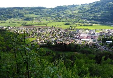
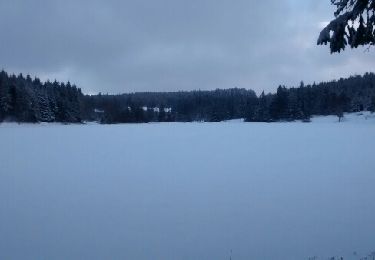
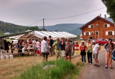
Trail On foot of 8.7 km to be discovered at Grand Est, Vosges, Girmont-Val-d'Ajol. This trail is proposed by SityTrail - itinéraires balisés pédestres.
Trail created by Vosges Méridionales.


On foot

Mountain bike
Walking
Walking
Walking
Walking
Other activity
Snowshoes
Walking