


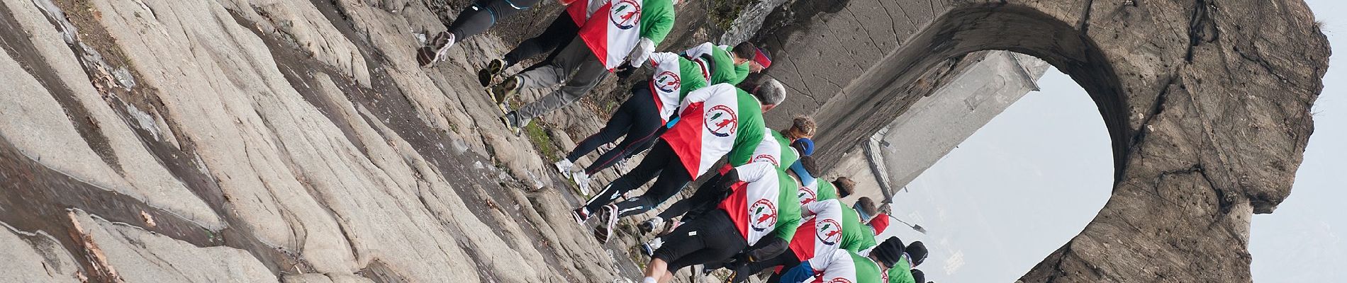
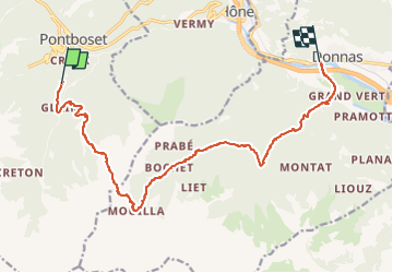
Alta Via n. 2 della Valle d'Aosta - Tappa 14

SityTrail - itinéraires balisés pédestres
Tous les sentiers balisés d’Europe GUIDE+


6h56
Difficulty : Medium

FREE GPS app for hiking
 SityTrail
IGN / Geographical institutes
SityTrail Plus
The world is yours!
About
Trail On foot of 14.3 km to be discovered at Aosta Valley, Unknown, Pontboset. This trail is proposed by SityTrail - itinéraires balisés pédestres.
Description
Crest - Donnas Alte Vie
Website: http://www.lovevda.it/it/banca-dati/7/alte-vie/valle-d-aosta/crest-donnas/2978
Photos


Positioning
Comments