


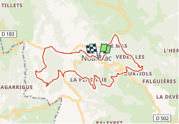

16.8 km | 23 km-effort

Tous les sentiers balisés d’Europe PRO


FREE GPS app for hiking
 SityTrail
IGN / Geographical institutes
SityTrail World
The world is yours!
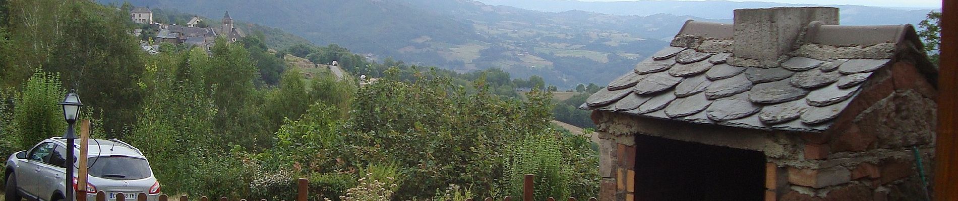
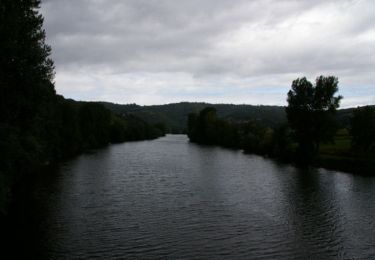
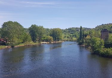
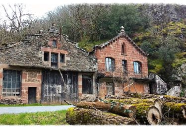
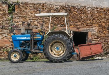
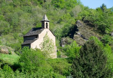
Trail On foot of 10.3 km to be discovered at Occitania, Aveyron, Conques-en-Rouergue. This trail is proposed by SityTrail - itinéraires balisés pédestres.
Trail created by Office de Tourisme Conques-Marcillac.


Walking

On foot

On foot
Walking

Walking
On foot

On foot
On foot
On foot