


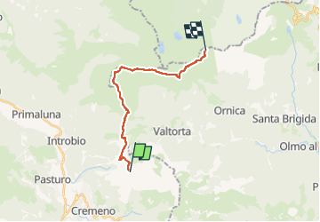

8.7 km | 14 km-effort


Tous les sentiers balisés d’Europe PRO


FREE GPS app for hiking
 SityTrail
IGN / Geographical institutes
SityTrail World
The world is yours!
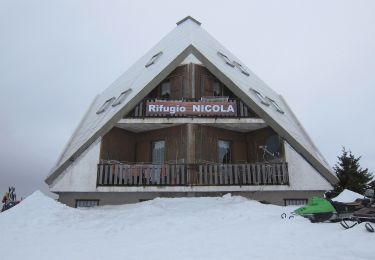
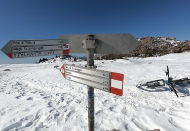
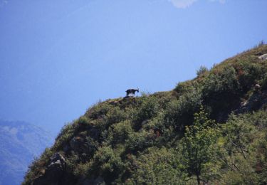
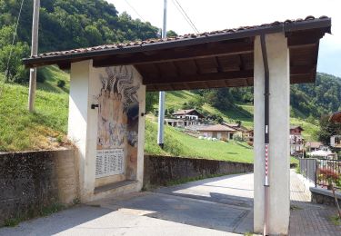
Trail On foot of 15.6 km to be discovered at Lombardy, Lecco, Barzio. This trail is proposed by SityTrail - itinéraires balisés pédestres.
Trail created by Club Alpino Italiano (sezioni di Bergamo).
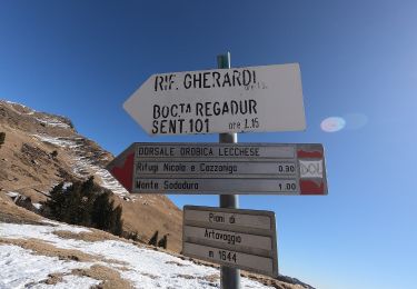
Symbol: red-white bars, sometimes with black text "101"
Website: https://www.sentierodelleorobie.it/2tapparifleccorifbenigni.htm


On foot
On foot
On foot

On foot
On foot
On foot
On foot
On foot
On foot