


5.3 km | 7.3 km-effort


User


FREE GPS app for hiking
 SityTrail
IGN / Geographical institutes
SityTrail World
The world is yours!
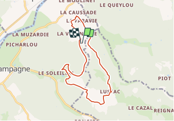
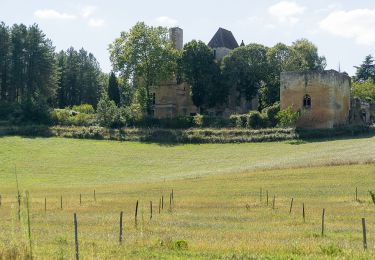
Trail Walking of 8.2 km to be discovered at New Aquitaine, Dordogne, Campagne. This trail is proposed by swp648.
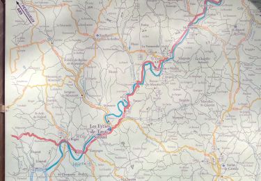
Départ de la Vergnolle 24- Dordogne

On foot

Walking
Walking
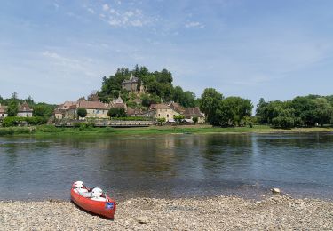
Canoe - kayak

Walking
Walking
Walking
Walking

Walking
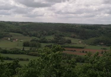
rando variée, petites routes vallonnées, forêt et traversées de hameaux avec des maisons de pierre anciennes