


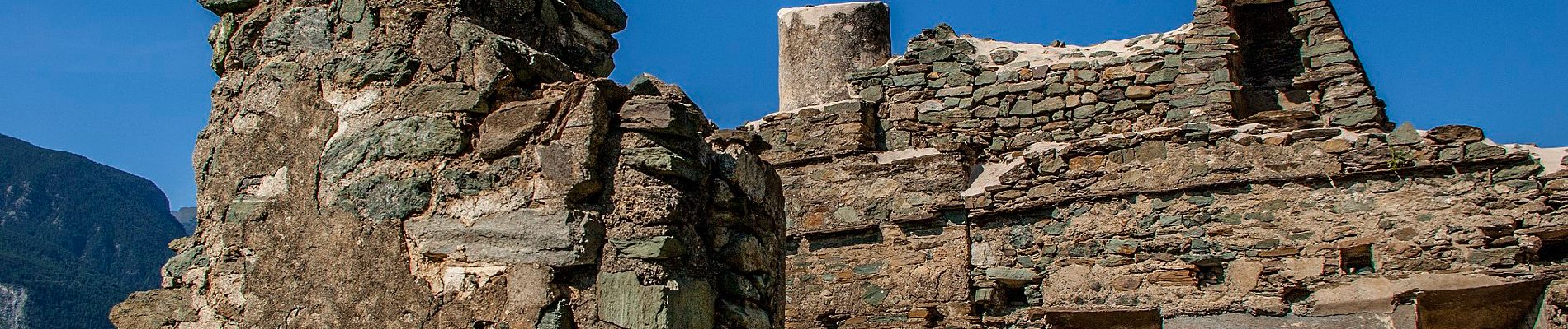
Sentiero Ru Chandianaz

SityTrail - itinéraires balisés pédestres
Tous les sentiers balisés d’Europe GUIDE+
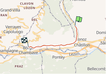

Length
6.1 km

Max alt
681 m

Uphill gradient
127 m
Km-Effort
8 km

Min alt
594 m

Downhill gradient
190 m
Boucle
No

Signpost
Creation date :
2022-02-17 10:56:30.909
Updated on :
2022-03-02 01:39:20.937
1h48
Difficulty : Easy

FREE GPS app for hiking
 SityTrail
IGN / Geographical institutes
SityTrail Plus
The world is yours!
About
Trail On foot of 6.1 km to be discovered at Aosta Valley, Unknown, Châtillon. This trail is proposed by SityTrail - itinéraires balisés pédestres.
Photos


Positioning
Country:
Italy
Region :
Aosta Valley
Department/Province :
Unknown
Municipality :
Châtillon
Location:
Unknown
Start:(Dec)
Start:(UTM)
391488 ; 5068808 (32T) N.
Comments