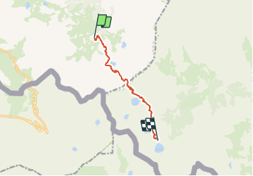

21 km | 35 km-effort

Tous les sentiers balisés d’Europe PRO


FREE GPS app for hiking
 SityTrail
IGN / Geographical institutes
SityTrail World
The world is yours!
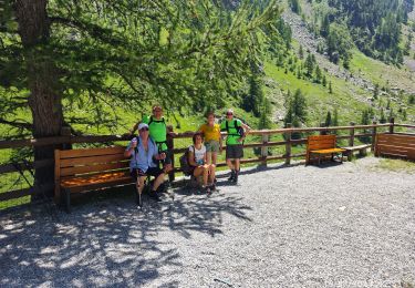
Trail On foot of 8.6 km to be discovered at Piemont, Cuneo, Vinadio. This trail is proposed by SityTrail - itinéraires balisés pédestres.
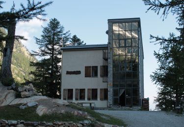
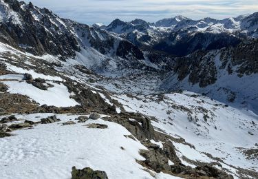
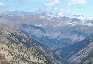
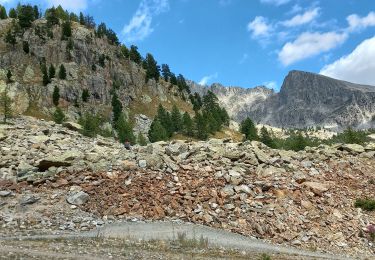
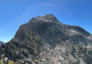
From the Malinvern hut a steep trail, through larch woods and pastures, climbs to Lake Malinvern, continues along scree slopes to the Valscura pass and enters the Alpi Marittime nature park. From Lake Valscura the trail leads to Lake Claus and then winds its way up to the Questa hut, near lake Portette.
Website: http://via-alpina.org/en/stage/321


Other activity
On foot
On foot

Walking
Snowshoes
Walking
Walking
Walking