


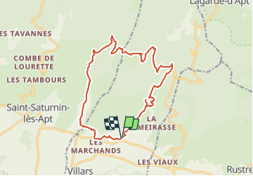


10.9 km | 17.8 km-effort

User


FREE GPS app for hiking
 SityTrail
IGN / Geographical institutes
SityTrail World
The world is yours!
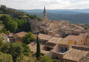
Trail Walking of 17.7 km to be discovered at Provence-Alpes-Côte d'Azur, Vaucluse, Villars. This trail is proposed by MarcLEBARON.
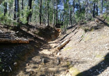
La difficulté réside essentiellement au dénivelé qui se fait dans les premiers kilomètres.


Walking
Walking
Walking

Mountain bike
Walking
Walking
Walking

Walking
Walking