


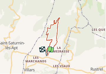

17.2 km | 23 km-effort


User


FREE GPS app for hiking
 SityTrail
IGN / Geographical institutes
SityTrail World
The world is yours!
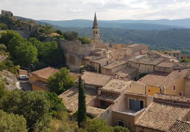
Trail Walking of 10.9 km to be discovered at Provence-Alpes-Côte d'Azur, Vaucluse, Villars. This trail is proposed by pieven.
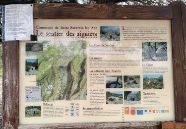
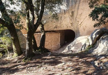
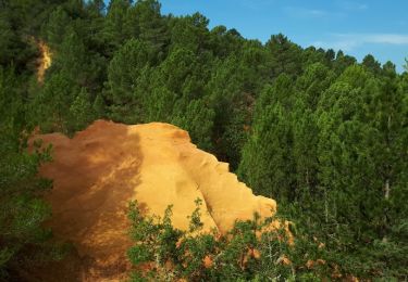
Chapelle St Pierre - Aiguiers d'Auribeau.
Départ parking des Grands Cléments
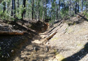
Balisage vert
Walking
Walking
Walking

Mountain bike
Walking
Walking
Walking

Walking
Walking