


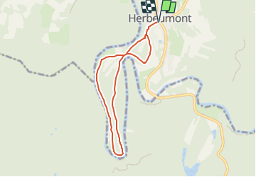

7.3 km | 10 km-effort


User


FREE GPS app for hiking
 SityTrail
IGN / Geographical institutes
SityTrail World
The world is yours!
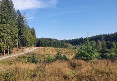
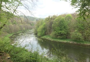
Trail Walking of 6.2 km to be discovered at Wallonia, Luxembourg, Herbeumont. This trail is proposed by rsih.
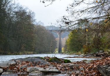
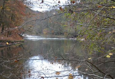
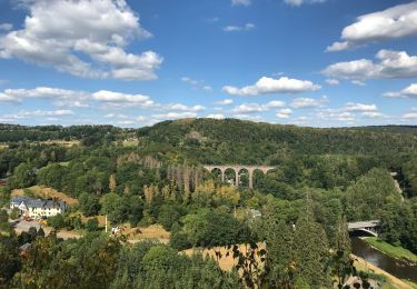
Jolie promenade vers le château d'Herbeumont et les différents points de vue du Tombeau du chevalier. Le retour se fait le long de la Semois.
///
Mooie wandeling naar het kasteel en de uitzichtpunten op het Graf van de ridder. De terugkeer is langs de Semois.


Other activity
Walking
Walking
Walking
Walking

Walking
Walking

Walking

Running
très bien