


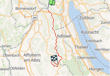


3.5 km | 5.4 km-effort


Optez pour le retour à la nature GUIDE+


FREE GPS app for hiking
 SityTrail
IGN / Geographical institutes
SityTrail World
The world is yours!
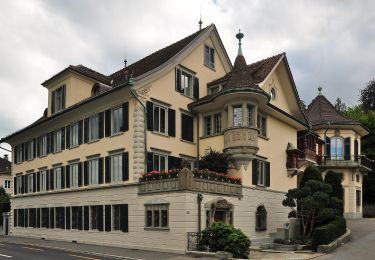
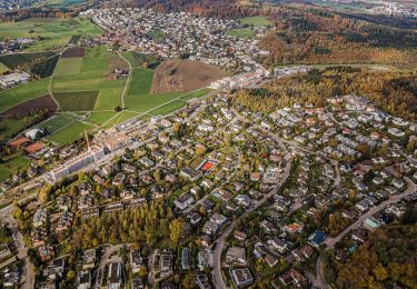
Trail Walking of 16 km to be discovered at Zurich, District Zurich, Zurich. This trail is proposed by My Switzerland.

On foot
On foot
On foot
On foot
On foot

On foot
On foot
On foot
On foot