


16 km | 22 km-effort
Zurich: Discover the best trails: 31 hiking trails and 5 bike and mountain-bike routes. All these trails, routes and outdoor activities are available in our SityTrail applications for smartphones and tablets.

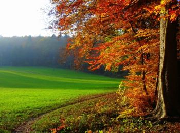
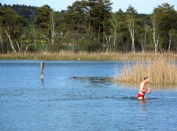
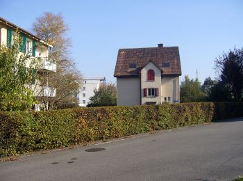
Walking


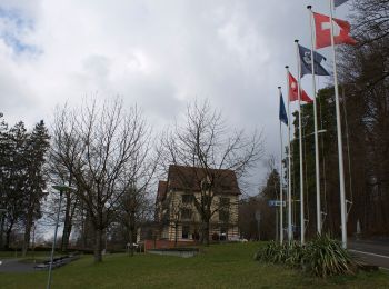
On foot
• Trail created by Zürcher Wanderwege ZAW. Symbol: gelbe Raute
On foot
• Trail created by Zürcher Wanderwege ZAW. Symbol: gelbe Raute

On foot
• Trail created by Zürcher Wanderwege ZAW. Symbol: Text Familien-Wanderweg mit comicartigem Erwachsenem mit Kind in gr...
On foot
• Trail created by Zürcher Wanderwege ZAW. Symbol: Text Familien-Wanderweg mit comicartigem Erwachsenem mit Kind in gr...

On foot
• Trail created by Zürcher Wanderwege ZAW. Symbol: gelbe Raute
On foot
• Trail created by Zürcher Wanderwege ZAW. Symbol: gelbe Raute
On foot
• Trail created by Zürcher Wanderwege ZAW. Symbol: gelbe Raute
On foot
• Trail created by Zürcher Wanderwege ZAW. Symbol: gelbe Raute
On foot
• Trail created by Zürcher Wanderwege. Symbol: gelbe Raute
On foot
• Trail created by Zürcher Wanderwege ZAW. Symbol: Text Familien-Wanderweg mit comicartigem Erwachsenem mit Kind in gr...
On foot
• Trail created by Zürcher Wanderwege ZAW. Symbol: gelbe Raute
On foot
• Trail created by Zürcher Wanderwege ZAW. Symbol: gelbe Raute
On foot
• Trail created by Zürcher Wanderwege ZAW. Symbol: gelbe Raute
On foot
• Trail created by Zürcher Wanderwege ZAW. Symbol: gelbe Raute
On foot
• Trail created by Zürcher Wanderwege ZAW. Symbol: gelbe Raute
On foot
• Trail created by Zürcher Wanderwege. Symbol: gelbe Raute
On foot
• Trail created by Zürcher Wanderwege ZAW. Symbol: gelbe Raute
On foot
• Trail created by ZAW. Seebach - Chatzensee Strandbad Symbol: gelbe Raute
On foot
• Trail created by Zürcher Wanderwege. Symbol: gelbe Raute
20 trails displayed on 38
FREE GPS app for hiking
 SityTrail
IGN / Geographical institutes
SityTrail World
The world is yours!