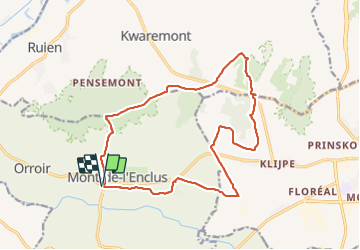
Trail Walking Mont-de-l'Enclus - Amougies 16 km - Photo
 rvapeldo
rvapeldo

User GUIDE

© OpenStreetMap contributors
Length
Length
16 km
Max alt
Max alt
154 m
Uphill gradient
Uphill gradient
260 m
Km-Effort
Km-Effort  
19.5 km
Min alt
Min alt
14 m
Downhill gradient
Downhill gradient
260 m
Boucle
Boucle
Yes
Creation date :
26/02/2022 09:23
Updated on :
26/02/2022 13:22

(0 Reviews)

Walking
Walking
3h58
Difficulty : Easy

Scan this QR Code to open this trail in the SityTrail application

FREE GPS app for hiking

Logo SityTrail SityTrail

IGN / Geographical institutes

Download SityTrail from the App Store Download SityTrail from Google Play

Logo SityTrail SityTrail Plus

The world is yours!

Download SityTrail from the App Store Download SityTrail from Google Play Download SityTrail on Huawei AppGallery

About

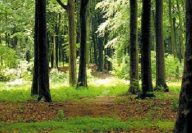
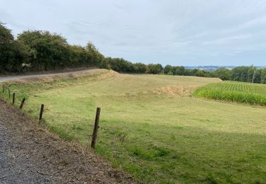
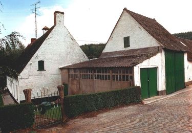
Trail Walking of 16 km to be discovered at Wallonia, Hainaut, Mont-de-l'Enclus. This trail is proposed by rvapeldo.

Elevation profile

Photos

Positioning

Country:
Belgium
Region :
Wallonia
Department/Province :
Hainaut
Municipality :
Mont-de-l'Enclus
Location:
Amougies
Start:(UTM)
535707 ; 5621435 (31U) N.


Close
My subscriptions