Trail Walking Puyloubier - Ste Victoire (pic des Mouches et brèche du clapier) - Photo

Ste Victoire (pic des Mouches et brèche du clapier)

 ETMU5496
ETMU5496

User

© OpenStreetMap contributors
Length
Length
18.4 km
Max alt
Max alt
998 m
Uphill gradient
Uphill gradient
1059 m
Km-Effort
Km-Effort  
33 km
Min alt
Min alt
338 m
Downhill gradient
Downhill gradient
1062 m
Boucle
Boucle
Yes
Creation date :
2022-02-27 07:41:56.0
Updated on :
2022-02-28 15:11:10.795

(0 Reviews)

Walking
Walking
5h32
Difficulty : Very difficult

Scan this QR Code to open this trail in the SityTrail application

FREE GPS app for hiking

Logo SityTrail SityTrail

IGN / Geographical institutes

Download SityTrail from the App Store Download SityTrail from Google Play

Logo SityTrail SityTrail World

The world is yours!

Download SityTrail from the App Store Download SityTrail from Google Play Download SityTrail on Huawei AppGallery

About

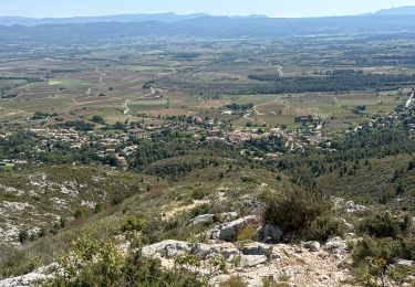
Trail Walking of 18.4 km to be discovered at Provence-Alpes-Côte d'Azur, Bouches-du-Rhône, Puyloubier. This trail is proposed by ETMU5496.

Description

Au départ de Puyloubier
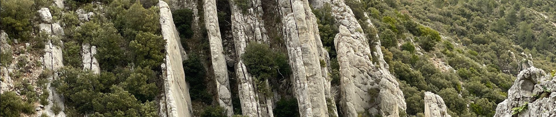
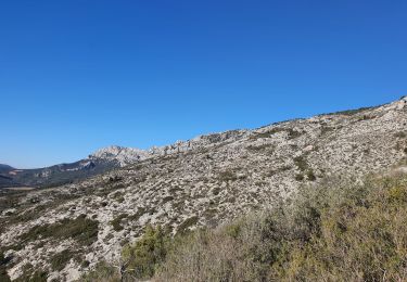
Ascension Est jusqu'au Pic des Mouches puis poursuite le long des crêtes (GR9) jusqu'à hauteur de la brèche du clapier où une descente très technique (sentier vert) est à entreprendre jusqu'au sentier marron de la Marbrière.
Poursuivre sur ce sentier marron en direction du refuge Baudino et l'Ermitage de St Ser. Redescendre ensuite jusqu'à la route et revenir au point de départ à Puyloubier.
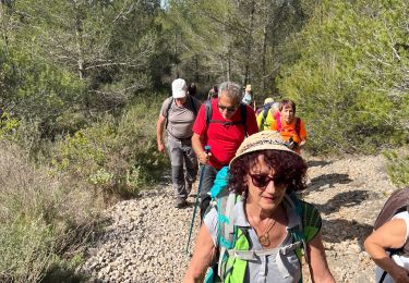
Randonnée sportive et exigeante malgré tout (IBP de 124)

Elevation profile

Photos

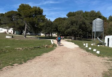
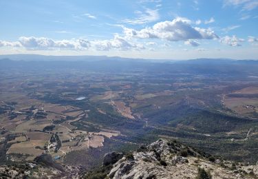
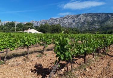
45 photos in total. Please click on a photo to see them all in the gallery.

Positioning

Country:
France
Region :
Provence-Alpes-Côte d'Azur
Department/Province :
Bouches-du-Rhône
Municipality :
Puyloubier
Location:
Unknown
Start:(UTM)
715930 ; 4822601 (31T) N.

Trails nearby

Trail Walking Puyloubier - 2023-02-03 Sainte Victoire - Le Pic des Mouches - Photo
Walking
GUIDE
Kargil

Walking

Difficult
Puyloubier, Provence-Alpes-Côte d'Azur, Bouches-du-Rhône, France
10 km | 19 km-effort
3h 10min
Yes
Trail Walking Puyloubier - traversée St Ser, le pic des Mouches, Puyloubier - Photo
Walking
GUIDE
amiral13

Walking

Difficult
(1)
Puyloubier, Provence-Alpes-Côte d'Azur, Bouches-du-Rhône, France
8.4 km | 16.5 km-effort
5h 47min
No
Trail Walking Puyloubier - Le pic des Mouches par le col de St Ser - Photo
Walking
GUIDE
amiral13

Walking

Difficult
Puyloubier, Provence-Alpes-Côte d'Azur, Bouches-du-Rhône, France
6.5 km | 14.7 km-effort
3h 40min
Yes
Trail Walking Puyloubier - Puyloubier : St Ser-col des Portes - Photo
Walking
ETMU5496

Walking

Difficult
Puyloubier, Provence-Alpes-Côte d'Azur, Bouches-du-Rhône, France
21 km | 34 km-effort
7h 42min
Yes
Trail Walking Pourrières - Puyloubier  - Photo
Walking
gaggiroland

Walking

Medium
Pourrières, Provence-Alpes-Côte d'Azur, Var, France
12.3 km | 17.3 km-effort
5h 49min
Yes
Trail Walking Puyloubier - Puyloubier Roland - Photo
Walking
gaggiroland

Walking

Medium
(1)
Puyloubier, Provence-Alpes-Côte d'Azur, Bouches-du-Rhône, France
12.8 km | 17.1 km-effort
6h 28min
Yes
Trail Walking Vauvenargues - le pic des mouches et la citadelle - Photo
Walking
GUIDE
amiral13

Walking

Easy
Vauvenargues, Provence-Alpes-Côte d'Azur, Bouches-du-Rhône, France
11.4 km | 18.3 km-effort
3h 53min
Yes
Trail Walking Puyloubier - La Ste Victoire-Citadelle-03-11-21 - Photo
Walking
Christiancordin

Walking

Difficult
Puyloubier, Provence-Alpes-Côte d'Azur, Bouches-du-Rhône, France
15.3 km | 27 km-effort
6h 16min
Yes
Trail Walking Puyloubier - Ste Victoire sud-03-06-21 - Photo
Walking
Christiancordin

Walking

Medium
Puyloubier, Provence-Alpes-Côte d'Azur, Bouches-du-Rhône, France
18.6 km | 29 km-effort
5h 36min
Yes


Close
My subscriptions