


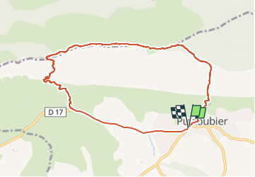

8.4 km | 16.5 km-effort

User GUIDE


FREE GPS app for hiking
 SityTrail
IGN / Geographical institutes
SityTrail World
The world is yours!
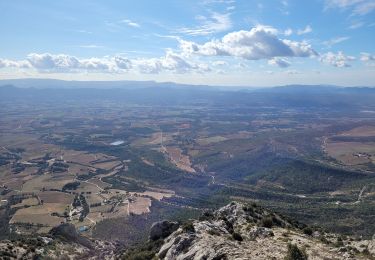
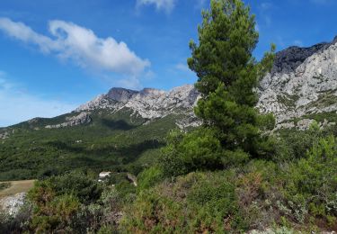
Trail Walking of 10 km to be discovered at Provence-Alpes-Côte d'Azur, Bouches-du-Rhône, Puyloubier. This trail is proposed by Kargil.
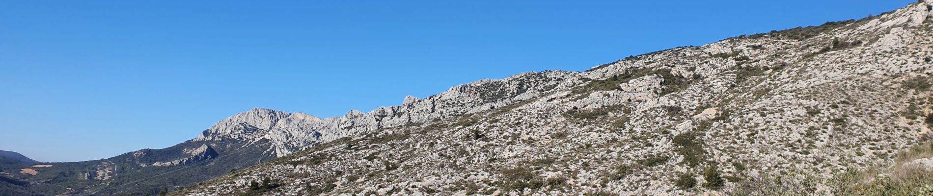
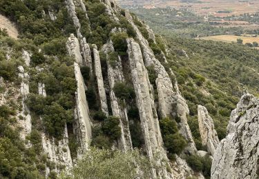
Avec les fermetures pour la protection de la faune, la descente est presque obligatoire par la Chapelle de Saint Ser. Certains passages sont exposés au vide mais bien protégés et équipés de chaînes.


Walking

Walking
Walking
Walking
Walking
Walking

Walking

Walking
Walking