


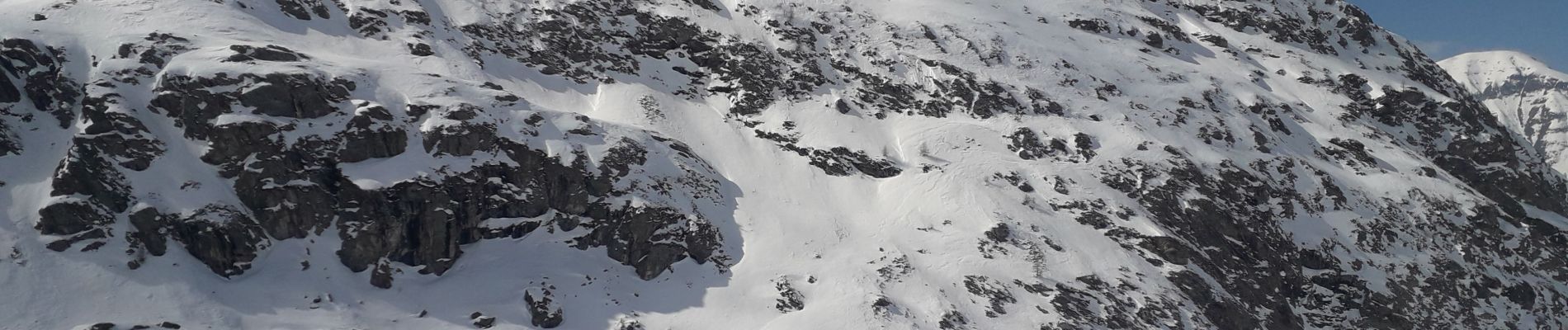
Bessans - refuge de l Averole

GEGERANDO17
User GUIDE
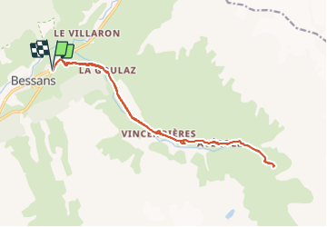

Length
17.8 km

Max alt
2218 m

Uphill gradient
530 m
Km-Effort
25 km

Min alt
1732 m

Downhill gradient
531 m
Boucle
Yes
Creation date :
2022-03-04 07:44:03.736
Updated on :
2022-03-05 07:06:13.379
5h39
Difficulty : Difficult

FREE GPS app for hiking
 SityTrail
IGN / Geographical institutes
SityTrail Plus
The world is yours!
About
Trail Snowshoes of 17.8 km to be discovered at Auvergne-Rhône-Alpes, Savoy, Bessans. This trail is proposed by GEGERANDO17.
Photos


Positioning
Country:
France
Region :
Auvergne-Rhône-Alpes
Department/Province :
Savoy
Municipality :
Bessans
Location:
Unknown
Start:(Dec)
Start:(UTM)
343383 ; 5020800 (32T) N.
Comments