


6.3 km | 8.3 km-effort


User


FREE GPS app for hiking
 SityTrail
IGN / Geographical institutes
SityTrail World
The world is yours!
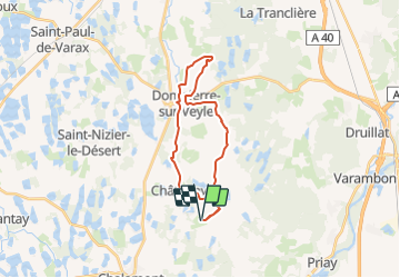
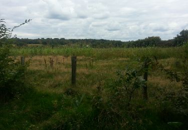
Trail of 23 km to be discovered at Auvergne-Rhône-Alpes, Ain, Châtenay. This trail is proposed by Pascale Pâris.
Boucle à la journée au départ du relais "La Commanderie" à Chatenay de 23 km.
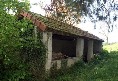
Circuit sur jolis chemins en herbe et petits forêts. Passage de gué à Dompièrre sur Veyle ! Restaurant à Dompièrre sur Veyle.
Joli endroit de Pique-nique au hameau "Le Lait" .
Pour cavalier et attelage.
mis à jours 26/02/2022
Walking

Running

Mountain bike
Walking
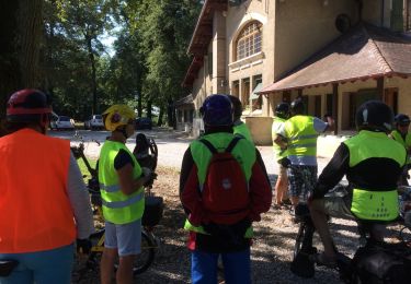
Mountain bike
Walking

Walking


sport
sport