Trail Walking Sainte-Rose - Boucle Davidon - Photo
 tracegps
tracegps

User

© OpenStreetMap contributors
Length
Length
6.6 km
Max alt
Max alt
144 m
Uphill gradient
Uphill gradient
164 m
Km-Effort
Km-Effort  
8.8 km
Min alt
Min alt
18 m
Downhill gradient
Downhill gradient
168 m
Boucle
Boucle
Yes
Creation date :
2016-03-09 00:00:00.0
Updated on :
2016-03-09 00:00:00.0

(2 Reviews)

Walking
Walking
1h30
Difficulty : Medium

Scan this QR Code to open this trail in the SityTrail application

FREE GPS app for hiking

Logo SityTrail SityTrail

IGN / Geographical institutes

Download SityTrail from the App Store Download SityTrail from Google Play

Logo SityTrail SityTrail World

The world is yours!

Download SityTrail from the App Store Download SityTrail from Google Play Download SityTrail on Huawei AppGallery

About

Trail Walking of 6.6 km to be discovered at Guadeloupe, Unknown, Sainte-Rose. This trail is proposed by tracegps.

Description

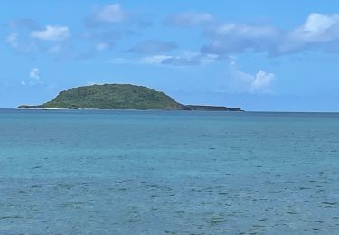
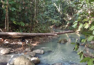
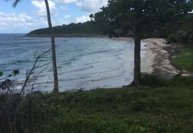
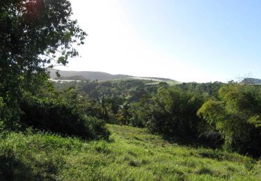
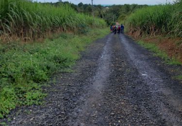
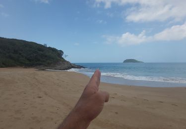
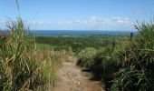
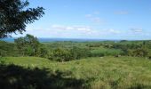
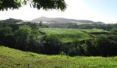
Petite balade dans les champs de canne à sucre, sur les hauteurs de Sainte-Rose, avec une vue superbe sur le Grand Cul de sac marin, et même sur la Grande Terre par temps clair. Parcours très sauvage, varié, non balisé, sur piste en terre en majorité, qui convient parfaitement à la course à pied. Faisable en VTT mais quelques passages aux herbes hautes avec mauvaise trace seront courts mais difficiles à passer sans portage. Jonction possible avec parcours de Solitude au Sud-Ouest.

Elevation profile

Photos

Positioning

Country:
France
Region :
Guadeloupe
Department/Province :
Unknown
Municipality :
Sainte-Rose
Location:
Unknown
Start:(UTM)
635548 ; 1806709 (20Q) N.

Comments

Please log in to post a review or rate the element


superbe


ok


Trails nearby

Trail On foot Sainte-Rose - Littoral de Sainte Rose - Photo
On foot
PRO

On foot

Easy
Sainte-Rose, Guadeloupe, Unknown, France
4.2 km | 4.7 km-effort
1h 4min
No
Trail Walking Sainte-Rose - Louheac Ravine Calée  - Photo
Walking
TomGwad

Walking

Difficult
Sainte-Rose, Guadeloupe, Unknown, France
5.5 km | 6.6 km-effort
1h 40min
Yes
Trail Walking Deshaies - SityTrail - 2167666 - tillet---les-amandiers (1) - Photo
Walking
sotnas

Walking

Very easy
Deshaies, Guadeloupe, Unknown, France
7 km | 8.5 km-effort
Unknown
No
Trail Running Sainte-Rose - Boucle Davidon - Photo
Running
tracegps

Running

Medium
Sainte-Rose, Guadeloupe, Unknown, France
6.6 km | 8.8 km-effort
45min
Yes
Trail Walking Sainte-Rose - plage manbia - Photo
Walking
Maria Chapalain

Walking

Medium
Sainte-Rose, Guadeloupe, Unknown, France
7.2 km | 8.4 km-effort
2h 22min
No
Trail Trail Sainte-Rose - Amandier - fort royal reconnaissance du 15 oct 2021 - Photo
Trail
corsicaraid

Trail

Very easy
Sainte-Rose, Guadeloupe, Unknown, France
7.7 km | 9.3 km-effort
1h 34min
No
Trail Motorboat Sainte-Rose - Nico excursion - Photo
Motorboat
GUIDE
David25400

Motorboat

Very easy
Sainte-Rose, Guadeloupe, Unknown, France
18.3 km | 18.4 km-effort
4h 20min
Yes
Trail Walking Sainte-Rose - duzer,  tête à zetre - Photo
Walking
Petit Thierry2

Walking

Very difficult
Sainte-Rose, Guadeloupe, Unknown, France
19.6 km | 29 km-effort
6h 0min
Yes
Trail Walking Deshaies - site du boing - Photo
Walking
Maria Chapalain

Walking

Very difficult
Deshaies, Guadeloupe, Unknown, France
15.1 km | 22 km-effort
10h 56min
No


Close
My subscriptions