


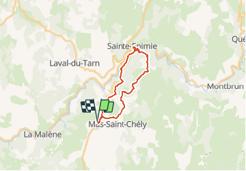

15.8 km | 25 km-effort

User


FREE GPS app for hiking
 SityTrail
IGN / Geographical institutes
SityTrail World
The world is yours!
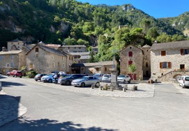
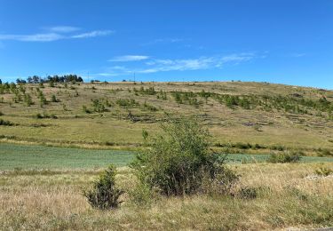
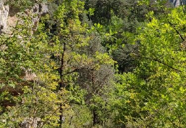
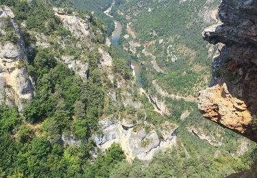
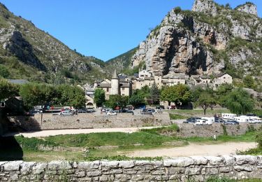
Trail Walking of 19.7 km to be discovered at Occitania, Lozère, Mas-Saint-Chély. This trail is proposed by tracegps.
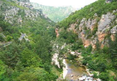
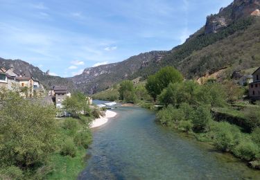
La draille du Languedoc PR® Charmes bien étranges de ces causses sévères, silencieux et à la fois grandioses, où derrière chaque pierre s’installe la légende. De l’aridité de ces plateaux aux spectacles des cirques, rien ne laisse entendre plus bas le bruit tumultueux des rivières. Vous trouverez le descriptif détaillé de cette randonnée dans le Topo-guide® de la Fédération Française de la Randonnée Pédestre. Pour toute information complémentaire sur la randonnée : Comité départemental de la Lozère: ROUTE DE COSTE EBESSE 48700 RIEUTORT DE RANDON Tél. : 0466471703

Walking
Walking
Walking
Walking
Walking

Walking
Walking

Walking
Walking