


3.9 km | 4.2 km-effort


User


FREE GPS app for hiking
 SityTrail
IGN / Geographical institutes
SityTrail World
The world is yours!
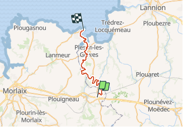
Trail Walking of 28 km to be discovered at Brittany, Finistère, Plouégat-Moysan. This trail is proposed by tracegps.
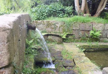
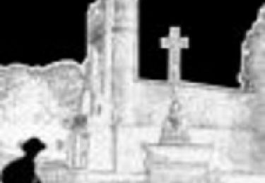
Tour du Trégor morlaisien GR® 380 - GR® 34D: Plouégat Moysan - Locquirec Cachée dans la vallée du Yar, la Chapelle St Nicolas à Plufur est la première chapelle à clocher mur et chevet à noues multiples érigée en 1499. Dans le Trégor, de nombreuses églises ont ensuite été construites suivant les mêmes plans. Vous trouverez le descriptif détaillé de cette randonnée dans le Topo-guide® de la Fédération Française de la Randonnée Pédestre. Le découpage proposé ici est donné à titre indicatif pour équilibrer la distance de chaque tronçon. Chacun peut l’adapter à son niveau. Pour toute information complémentaire sur la randonnée : Comité départemental du Finistère: 4 ROUTE DE ST RENAN BP 02 29810 PLOUARZEL Tél. : 0298896006

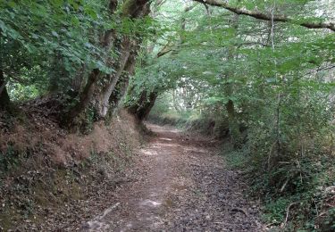
Walking
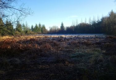
Walking
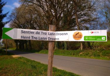
Walking
Walking
Walking

Walking
Walking