


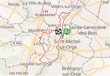

15.5 km | 19.1 km-effort

User


FREE GPS app for hiking
 SityTrail
IGN / Geographical institutes
SityTrail World
The world is yours!
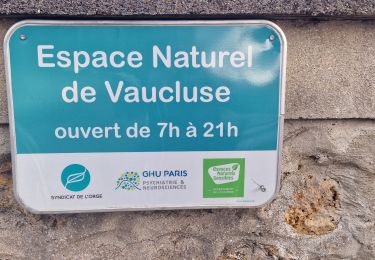
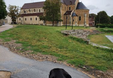
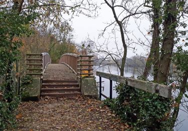
Trail Walking of 14.9 km to be discovered at Ile-de-France, Essonne, Saint-Michel-sur-Orge. This trail is proposed by c.chehere.
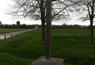
Partie passant au dessus de la N104 épouvantable déchèterie a ciel ouvert


Walking

Walking
Walking

Walking
On foot
Walking
Walking
Walking

Walking