


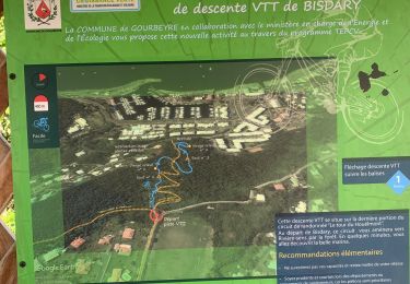
13.5 km | 25 km-effort

User


FREE GPS app for hiking
 SityTrail
IGN / Geographical institutes
SityTrail World
The world is yours!
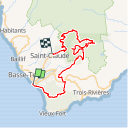
Trail Running of 44 km to be discovered at Guadeloupe, Unknown, Basse-Terre. This trail is proposed by tracegps.
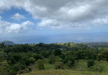
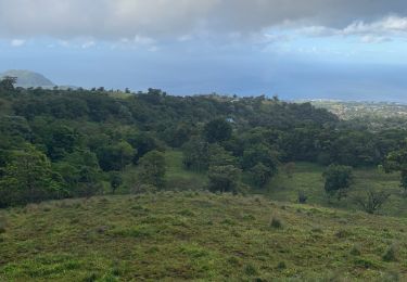
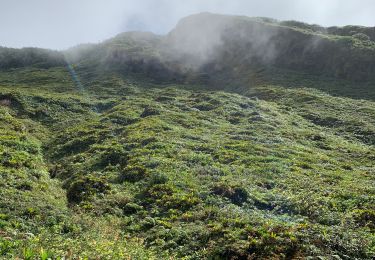
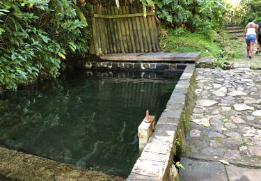
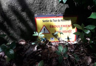
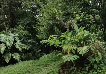
Ce parcours de 50 km cumulant plus de 3 500 mD vous fait partir à l'assaut des plus beaux sites du sud de la Basse-Terre (en partie au coeur du Parc National de la Guadeloupe) : les sommets de Vents Soufflé (687m), La Citerne (1115m), Carmichaël (1414m), les Bains Jaunes (950m), les Chutes du Carbet, le canyon du Galion, la terrible montée des Poteaux et la magnifique forêt du Nez Cassé. Parcours réservé aux personnes entraînées, vous alternez entre parcours roulants et sentiers techniques, entre passages sur routes et sentiers très boueux sur les sommets, entre forêts tropicales denses et savanes d'altitudes. (Source organisateur Altitudes Tropicales). Temps record de 7h35, 8h00 en 2009. L’auteur de la trace l’a bouclé en 11h30.


Trail
Running
Trail
Nordic walking
Trail
Trail
Walking
Walking