


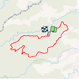

3.5 km | 4.8 km-effort


User


FREE GPS app for hiking
 SityTrail
IGN / Geographical institutes
SityTrail World
The world is yours!
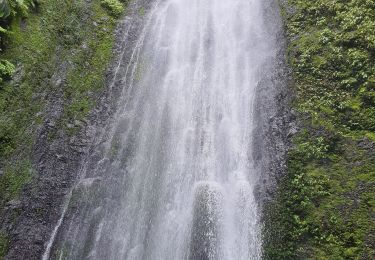
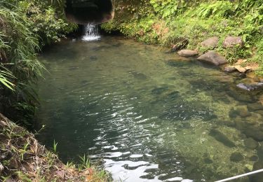
Trail Running of 11.2 km to be discovered at Guadeloupe, Unknown, Goyave. This trail is proposed by tracegps.
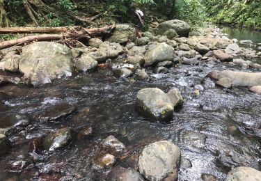
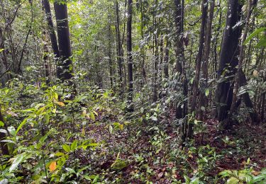
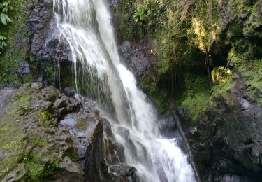
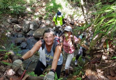
Trail en complète autonomie. Le compte rendu de l’organisateur Volcano Trail.


Other activity
Walking

On foot
On foot
Walking
Walking
Walking

Walking