


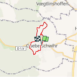

7.7 km | 11.3 km-effort

User


FREE GPS app for hiking
 SityTrail
IGN / Geographical institutes
SityTrail World
The world is yours!
Trail Walking of 4.1 km to be discovered at Grand Est, Haut-Rhin, Gueberschwihr. This trail is proposed by tracegps.
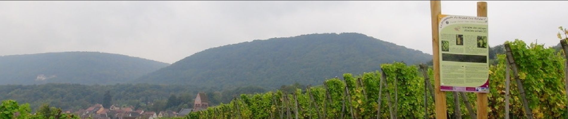
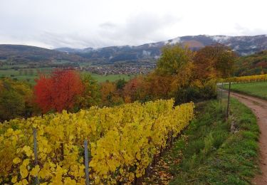
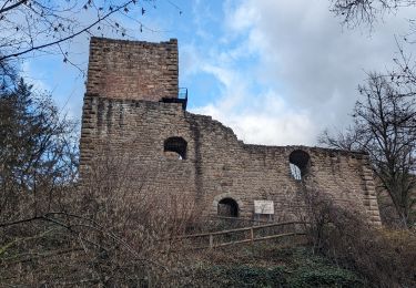
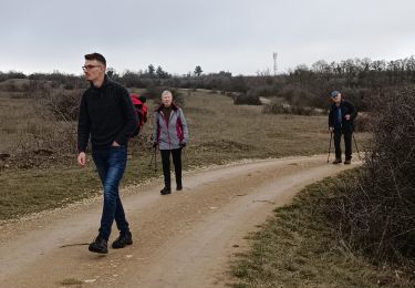
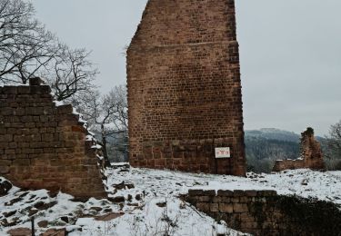
Gueberschwihr : Cité médiévale caractéristique de la Route des Vins, blottie à flanc de coteaux dans un écrin verdoyant, cette belle bourgade a gardé son charme d’antan, son authenticité et son riche patrimoine architectural. Dominant la place du village, le clocher roman du 12ème siècle, joyau du village, est une des étapes incontournables de la Route Romane d’Alsace. Son Grand Cru Goldert et son sentier viticole complètent harmonieusement ce décor idyllique. La promenade du Grand Cru Goldert présente un ensemble de panneaux d’information spécifique sur la biodiversité des collines du piémont viticole. Pour le promeneur, cette découverte implique d’abord un cheminement au travers de quelques ruelles caractéristiques de la richesse médiévale de Gueberschwihr. La promenade gagne ensuite progressivement le vignoble en longeant la lisière de la forêt. C’est à l’arrivée à la table d’orientation que le paysage s’ouvre pleinement et donne toute sa force contemplative. Le surplomb de la plaine est important et le regard est rapidement invité à se porter au loin, sur le Kaiserstuhl et la Forêt Noire en particulier. ® Départ : Place de la Mairie à Gueberschwihr.


Walking
Walking
Walking

Walking
Walking
Walking
Walking
Walking
Walking