


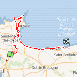

17.5 km | 20 km-effort

User


FREE GPS app for hiking
 SityTrail
IGN / Geographical institutes
SityTrail World
The world is yours!
Trail Equestrian of 59 km to be discovered at Brittany, Ille-et-Vilaine, Saint-Père-Marc-en-Poulet. This trail is proposed by tracegps.
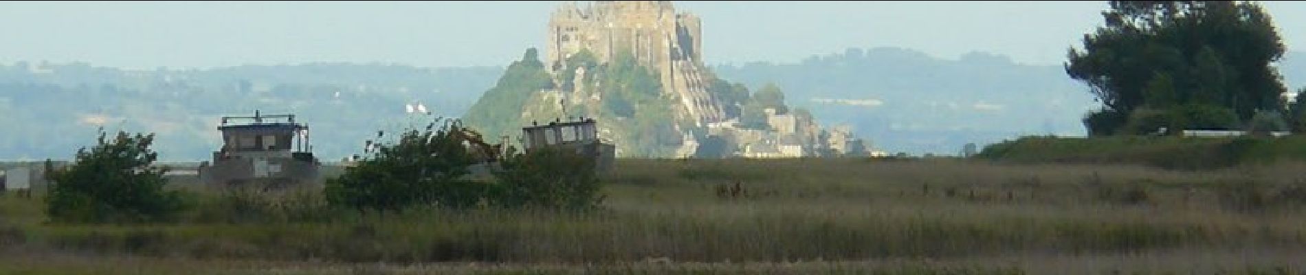
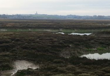
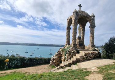
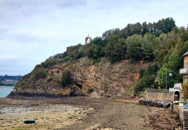
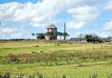
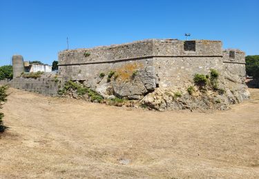
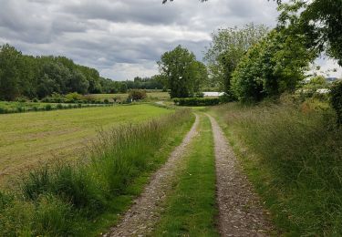
Chemins du bocage, points de vue panoramiques sur la Baie du Mt St Michel, paysages variés et vallonnés entre terre et mer !


Walking

Walking

Walking
Walking
Walking
Walking
Walking
Walking
Walking