


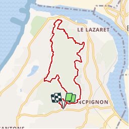

19 km | 24 km-effort

User


FREE GPS app for hiking
 SityTrail
IGN / Geographical institutes
SityTrail World
The world is yours!
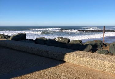
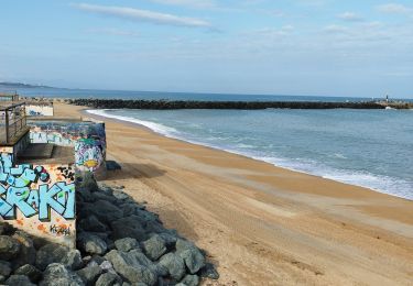
Trail Walking of 8.1 km to be discovered at New Aquitaine, Pyrénées-Atlantiques, Anglet. This trail is proposed by tracegps.
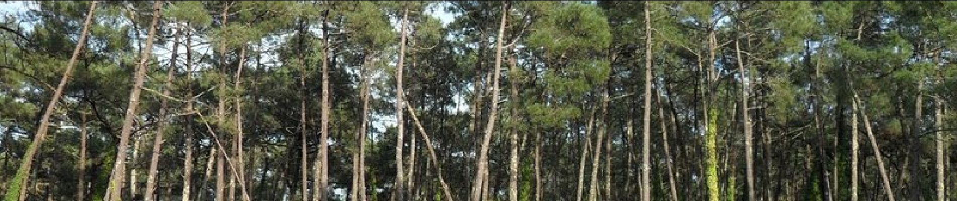
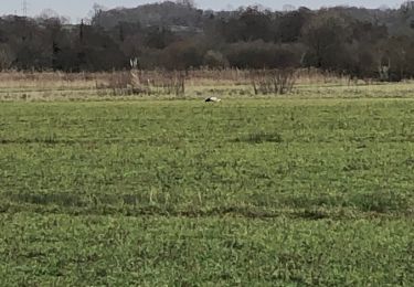
Départ du parking donnant sur l'avenue de Montbrun. Le circuit passe entièrement dans la forêt de La Pignada et la forêt du quartier de Chiberta. La Pinhadar (prononcé « pignada ») « massif de pins plantés » en langue gasconne (masculin) qui est un proche parent du mot français pinède, attesté pour la première fois en 1842, et emprunte à l'occitan provençal pineda. © Wikipédia


Walking

Cycle
Walking
Walking
Walking
Bicycle tourism

Electric bike
Walking
Cycle
Vraiment bien