Trail Walking Pouzilhac - Le Serre du Cabrol - Pouzilhac - Photo

Le Serre du Cabrol - Pouzilhac

 tracegps
tracegps

User

© OpenStreetMap contributors
Length
Length
15.9 km
Max alt
Max alt
253 m
Uphill gradient
Uphill gradient
242 m
Km-Effort
Km-Effort  
19.1 km
Min alt
Min alt
120 m
Downhill gradient
Downhill gradient
241 m
Boucle
Boucle
Yes
Creation date :
2014-12-10 00:00:00.0
Updated on :
2014-12-10 00:00:00.0

(0 Reviews)

Walking
Walking
4h00
Difficulty : Difficult

Scan this QR Code to open this trail in the SityTrail application

FREE GPS app for hiking

Logo SityTrail SityTrail

IGN / Geographical institutes

Download SityTrail from the App Store Download SityTrail from Google Play

Logo SityTrail SityTrail World

The world is yours!

Download SityTrail from the App Store Download SityTrail from Google Play Download SityTrail on Huawei AppGallery

About

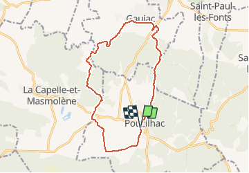
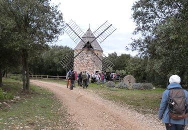
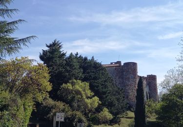
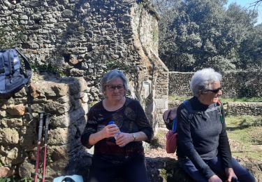
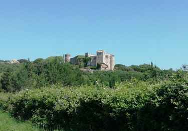
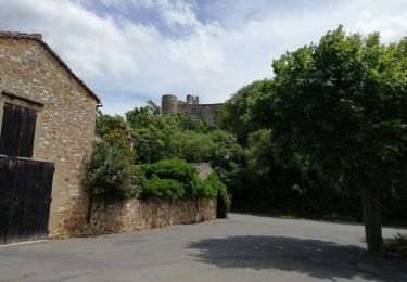
Trail Walking of 15.9 km to be discovered at Occitania, Gard, Pouzilhac. This trail is proposed by tracegps.

Description

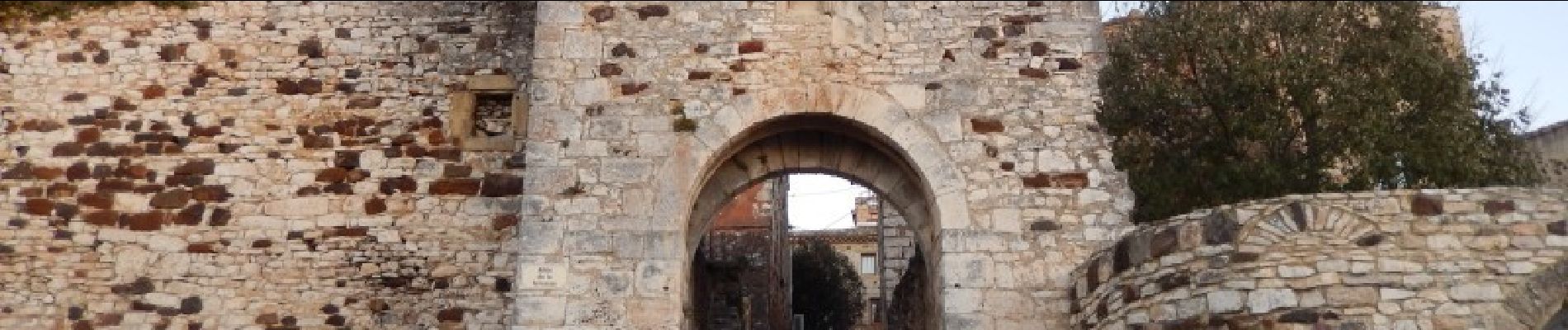
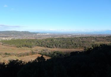
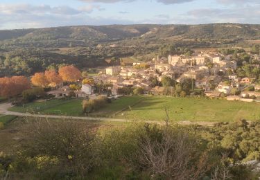
Circuit entre vignes et forêts de garrigues ou de châtaigniers, entre calcaires et gneiss. Parking en bas du village (D101 ou remparts du village). D'abord au sud puis l'ouest vers Panely, quitter les vignes pour monter au Serre de Cabrol et traverser une forêt de châtaigniers. Rejoindre La Veyre puis Gaujac avant de remonter à Pouzilhac. Bonne balade.

Elevation profile

Photos

Positioning

Country:
France
Region :
Occitania
Department/Province :
Gard
Municipality :
Pouzilhac
Location:
Unknown
Start:(UTM)
626441 ; 4877540 (31T) N.

Trails nearby

Trail Walking Pouzilhac - Le sentier botanique - Pouzilhac - Photo
Walking
tracegps

Walking

Difficult
(4)
Pouzilhac, Occitania, Gard, France
11.3 km | 14 km-effort
3h 30min
Yes
Trail Walking Valliguières - Valliguières - St Pierre - Solidarité - Photo
Walking
rando30129

Walking

Medium
(1)
Valliguières, Occitania, Gard, France
5.6 km | 7 km-effort
1h 35min
Yes
Trail Walking Valliguières - Valliguières - Etang - St Pierre - Photo
Walking
rando30129

Walking

Medium
(1)
Valliguières, Occitania, Gard, France
7.3 km | 8.8 km-effort
2h 14min
Yes
Trail Walking La Capelle-et-Masmolène - Masmolène et l'étang de la Capelle - Photo
Walking
jesusmarieclaire

Walking

Very easy
(1)
La Capelle-et-Masmolène, Occitania, Gard, France
14.4 km | 16.8 km-effort
3h 37min
No
Trail Walking La Capelle-et-Masmolène - La Capelle-et-Masmolène - Photo
Walking
Gegetop

Walking

Easy
La Capelle-et-Masmolène, Occitania, Gard, France
7.7 km | 9.1 km-effort
2h 8min
Yes
Trail Walking La Capelle-et-Masmolène - la Capelle Masmolène - Photo
Walking
GUIDE
nadinebondoux

Walking

Medium
La Capelle-et-Masmolène, Occitania, Gard, France
16.8 km | 21 km-effort
5h 45min
Yes
Trail Walking Gaujac - Gaujac 160323 - Photo
Walking
fario

Walking

Difficult
Gaujac, Occitania, Gard, France
11 km | 14.3 km-effort
3h 15min
Yes
Trail Mountain bike La Capelle-et-Masmolène - 30-vtt-lacapelle-St-Siffret-25km-230m-juin21 - Photo
Mountain bike
SyMA

Mountain bike

Medium
La Capelle-et-Masmolène, Occitania, Gard, France
25 km | 28 km-effort
2h 41min
Yes
Trail Walking La Capelle-et-Masmolène - 30-lacapelle-forets-15km-240m-juin21 - Photo
Walking
SyMA

Walking

Medium
La Capelle-et-Masmolène, Occitania, Gard, France
14.9 km | 18.1 km-effort
3h 37min
Yes


Close
My subscriptions