


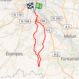

15.5 km | 19.1 km-effort

User


FREE GPS app for hiking
 SityTrail
IGN / Geographical institutes
SityTrail World
The world is yours!
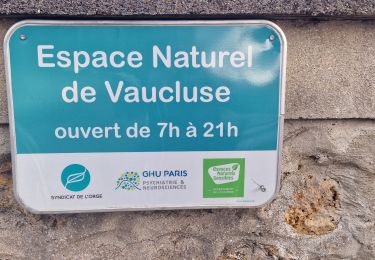
Trail Cycle of 91 km to be discovered at Ile-de-France, Essonne, Savigny-sur-Orge. This trail is proposed by tracegps.
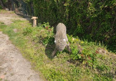
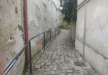
Ce Boparcours s'adresse aux rouleurs ou à celles et ceux qui aiment tourner les jambes, puisqu'il y a quand même quelques difficultés: La côte de Morsang-sur-Orge La côte d'Itteville La côte de Maisse La côte avant Gironville-sur-Essonne La côte de Marchais Montauger La côte de la gare à Savigny Prenez le temps de vous arrêter au Petit-Gironville sur Pont qui enjambe l'Essonne. Un moment d'évasion, un silence, un pur délice !


Walking
Walking

Walking
Walking
Walking
Walking

Walking
On foot
Walking