Trail Walking Longjumeau - Boucle 23 km autour de Longjumeau - Photo

Boucle 23 km autour de Longjumeau

 chessyca
chessyca

User

© OpenStreetMap contributors
Length
Length
23 km
Max alt
Max alt
167 m
Uphill gradient
Uphill gradient
302 m
Km-Effort
Km-Effort  
27 km
Min alt
Min alt
39 m
Downhill gradient
Downhill gradient
302 m
Boucle
Boucle
Yes
Creation date :
2023-09-10 07:21:48.605
Updated on :
2023-09-10 16:24:36.628

(0 Reviews)

Walking
Walking
4h48
Difficulty : Medium

Scan this QR Code to open this trail in the SityTrail application

FREE GPS app for hiking

Logo SityTrail SityTrail

IGN / Geographical institutes

Download SityTrail from the App Store Download SityTrail from Google Play

Logo SityTrail SityTrail World

The world is yours!

Download SityTrail from the App Store Download SityTrail from Google Play Download SityTrail on Huawei AppGallery

About

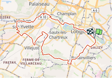
Trail Walking of 23 km to be discovered at Ile-de-France, Essonne, Longjumeau. This trail is proposed by chessyca.

Description

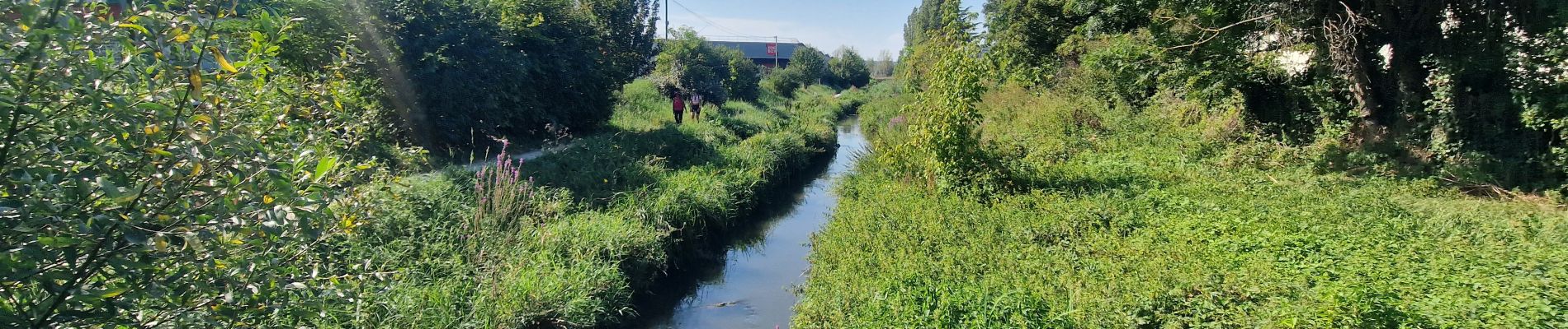
Rando tracée par Gérard pour le RCY
Effectuée sous une canicule
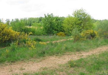
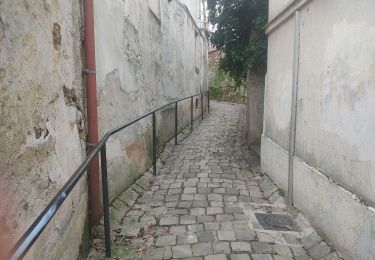
Parcours plutot urbain

Elevation profile

Photos

Positioning

Country:
France
Region :
Ile-de-France
Department/Province :
Essonne
Municipality :
Longjumeau
Location:
Unknown
Start:(UTM)
448984 ; 5393118 (31U) N.

Trails nearby

Trail Walking Saulx-les-Chartreux - Saulx les Chartreux vers Ville du Bois - Photo
Walking
tracegps

Walking

Medium
(1)
Saulx-les-Chartreux, Ile-de-France, Essonne, France
9.6 km | 12.2 km-effort
2h 30min
Yes
Trail On foot Villebon-sur-Yvette - Grand Tour de Villebon - Photo
On foot
PRO

On foot

Easy
(1)
Villebon-sur-Yvette, Ile-de-France, Essonne, France
13.1 km | 15.6 km-effort
3h 32min
Yes
Trail On foot Palaiseau - PR 11 - Photo
On foot
PRO

On foot

Easy
Palaiseau, Ile-de-France, Essonne, France
11.7 km | 14 km-effort
3h 10min
No
Trail Walking Longjumeau - Le pont des templiers  - Photo
Walking
c.chehere

Walking

Medium
Longjumeau, Ile-de-France, Essonne, France
15.4 km | 17.2 km-effort
3h 56min
Yes
Trail Walking Longjumeau - La rivière morte - Photo
Walking
c.chehere

Walking

Medium
Longjumeau, Ile-de-France, Essonne, France
14.8 km | 16.8 km-effort
3h 49min
No
Trail Walking Palaiseau - La Troche - Photo
Walking
c.chehere

Walking

Very difficult
Palaiseau, Ile-de-France, Essonne, France
16.5 km | 20 km-effort
4h 33min
No
Trail On foot Morsang-sur-Orge - Boucle 20 km Morsang sur Orge - Photo
On foot
chessyca

On foot

Easy
Morsang-sur-Orge, Ile-de-France, Essonne, France
20 km | 22 km-effort
5h 6min
Yes
Trail Walking Longjumeau - ALBG RANDO MERCREDI BALIZY MORSANG BALIZY 2024 - Photo
Walking
albg

Walking

Medium
(1)
Longjumeau, Ile-de-France, Essonne, France
7.9 km | 9.2 km-effort
2h 5min
Yes
Trail Walking Saulx-les-Chartreux - La Boëlle - Photo
Walking
c.chehere

Walking

Easy
Saulx-les-Chartreux, Ile-de-France, Essonne, France
15 km | 17.8 km-effort
3h 52min
Yes


Close
My subscriptions