


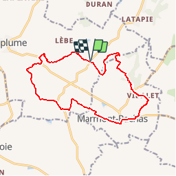

15.2 km | 22 km-effort


User


FREE GPS app for hiking
 SityTrail
IGN / Geographical institutes
SityTrail World
The world is yours!
Trail Walking of 16 km to be discovered at New Aquitaine, Lot-et-Garonne, Laplume. This trail is proposed by tracegps.
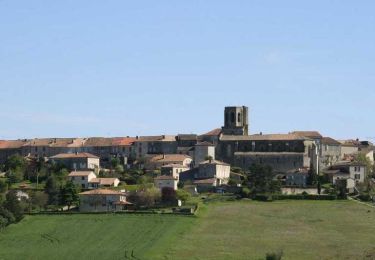
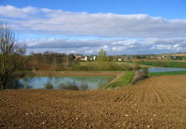
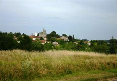
Les points de vue sont nombreux tout au long de cette randonnée tracée au sud du département. Du sommet des collines arrondies, l’Agenais au nord et le Gers au sud s’offrent au regard. Départ de l’église de Brimont, hameau de Laplume. Téléchargez la fiche de cette randonnée sur le site du Tourisme du Lot et Garonne.


Walking

On foot

Mountain bike

Walking
Walking

On foot
Equestrian

Mountain bike
Equestrian