Trail Walking Bilhac - BILLAC - Photo
 houbart
houbart

User

© OpenStreetMap contributors
Length
Length
10.3 km
Max alt
Max alt
263 m
Uphill gradient
Uphill gradient
221 m
Km-Effort
Km-Effort  
13.3 km
Min alt
Min alt
127 m
Downhill gradient
Downhill gradient
221 m
Boucle
Boucle
Yes
Creation date :
2022-03-24 16:06:11.424
Updated on :
2022-03-31 14:41:49.765

(1 Reviews)

Walking
Walking
3h00
Difficulty : Difficult

Scan this QR Code to open this trail in the SityTrail application

FREE GPS app for hiking

Logo SityTrail SityTrail

IGN / Geographical institutes

Download SityTrail from the App Store Download SityTrail from Google Play

Logo SityTrail SityTrail Plus

The world is yours!

Download SityTrail from the App Store Download SityTrail from Google Play Download SityTrail on Huawei AppGallery

About

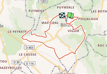
Trail Walking of 10.3 km to be discovered at New Aquitaine, Corrèze, Bilhac. This trail is proposed by houbart.

Description

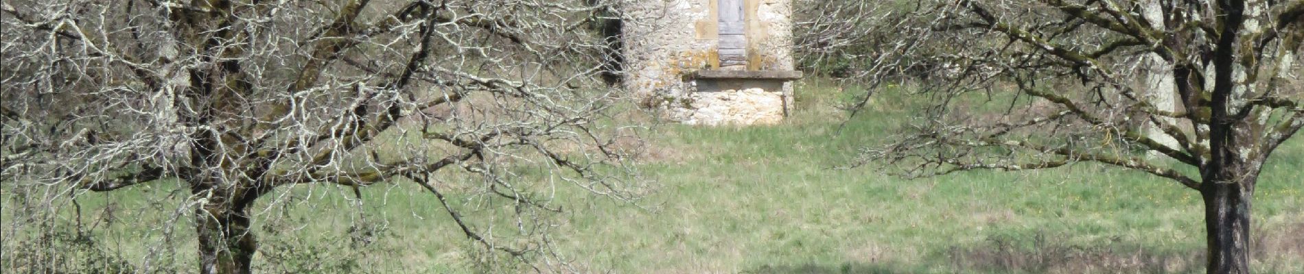
Un éventail de points de vue de Loubressac à Carennac. De Bilhac, l’église et le château aux origines médiévales annoncent un parcours dans des hameaux à l’architecture quercynoise, Le
moulin de la Force ponctue la balade.

Elevation profile

Photos

Positioning

Country:
France
Region :
New Aquitaine
Department/Province :
Corrèze
Municipality :
Bilhac
Location:
Unknown
Start:(UTM)
403293 ; 4977532 (31T) N.

Comments

Please log in to post a review or rate the element


Close
My subscriptions