


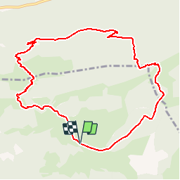

12.2 km | 25 km-effort

User


FREE GPS app for hiking
 SityTrail
IGN / Geographical institutes
SityTrail World
The world is yours!
Trail Walking of 10.9 km to be discovered at New Aquitaine, Pyrénées-Atlantiques, Castet. This trail is proposed by tracegps.
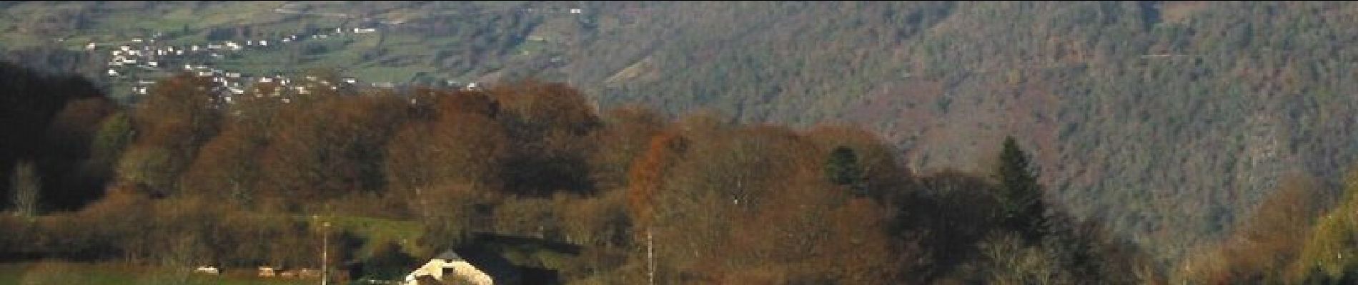
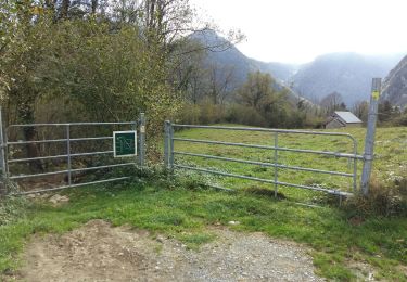
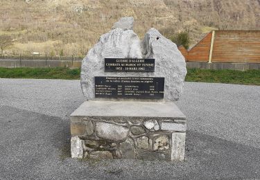
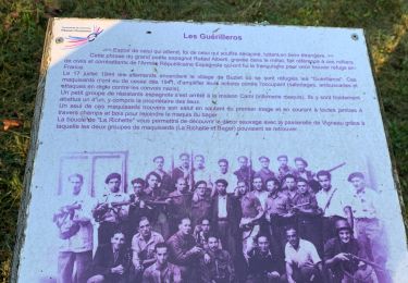
Circuit de 11,6km avec 920 . Départ au Port de Castet, après la barrière canadienne, à droite au niveau du parc à contention. La montagne du Rey est le premier belvédère de la vallée d'Ossau, elle offre une vue panoramique de Pau jusqu'au Pic du midi d'Ossau en passant par tous les hauts sommets qui dominent la vallée. Téléchargez la fiche du circuit n°18 sur le site de la vallée d'Ossau.


Walking
Walking
Walking
On foot

On foot
On foot
On foot
On foot
Walking