


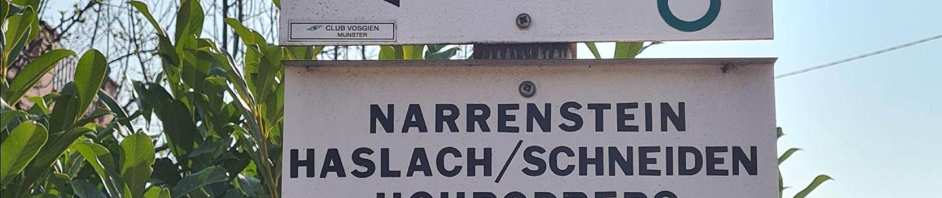
Gunsbach & le sentier Schweitzer par Haslach

Claudele
User
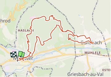

Length
13.6 km

Max alt
679 m

Uphill gradient
501 m
Km-Effort
20 km

Min alt
344 m

Downhill gradient
502 m
Boucle
Yes
Creation date :
2022-03-26 08:37:44.857
Updated on :
2022-03-27 20:21:36.547
5h25
Difficulty : Medium

FREE GPS app for hiking
 SityTrail
IGN / Geographical institutes
SityTrail Plus
The world is yours!
About
Trail Walking of 13.6 km to be discovered at Grand Est, Haut-Rhin, Munster. This trail is proposed by Claudele.
Photos


61 photos in total. Please click on a photo to see them all in the gallery.
Positioning
Country:
France
Region :
Grand Est
Department/Province :
Haut-Rhin
Municipality :
Munster
Location:
Unknown
Start:(Dec)
Start:(UTM)
360915 ; 5322399 (32U) N.
Comments