


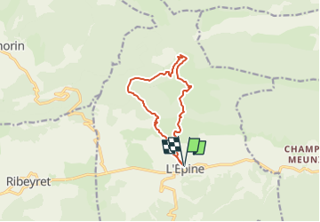

21 km | 31 km-effort

User


FREE GPS app for hiking
 SityTrail
IGN / Geographical institutes
SityTrail World
The world is yours!
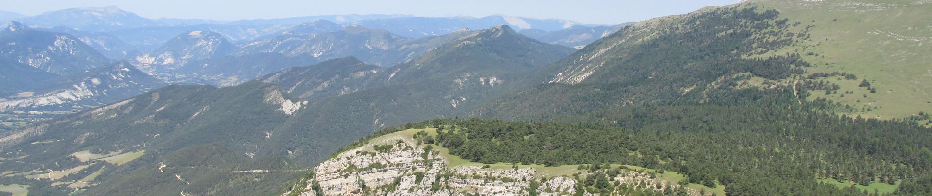
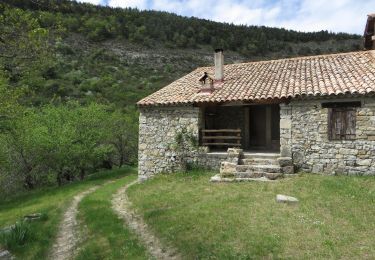
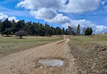
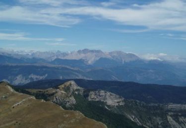
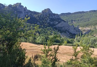
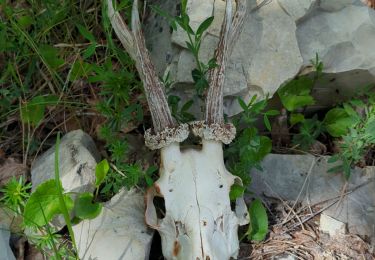
Trail Walking of 10.8 km to be discovered at Provence-Alpes-Côte d'Azur, Hautes-Alpes, L'Épine. This trail is proposed by Marco05.
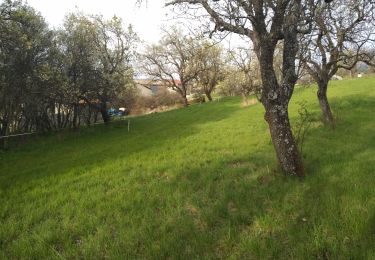
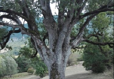
Petite randonnée très sympa, au dessus de L'Epine, une petite commune située à l'ouest de Serres.
Pas de difficulté particulière.


Mountain bike
Walking

Walking
Walking
Other activity
Walking

Mountain bike
Walking
Walking