


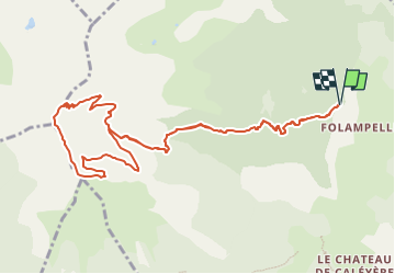

10.6 km | 21 km-effort

User


FREE GPS app for hiking
 SityTrail
IGN / Geographical institutes
SityTrail World
The world is yours!
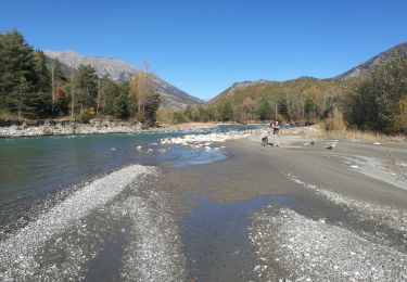
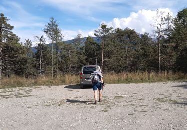
Trail Walking of 12.6 km to be discovered at Provence-Alpes-Côte d'Azur, Hautes-Alpes, Embrun. This trail is proposed by Marco05.
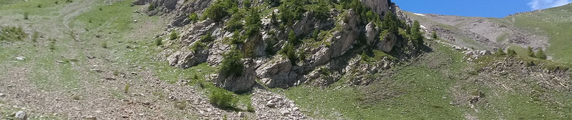
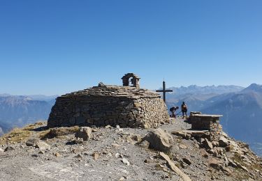
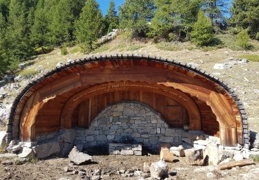
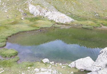
Magnifique randonnée au dessus d'Embrun.
La vue sur le lac de Serre-Ponçon est exeptionnelle.
Un dénivelé qui nécessite une bonne forme.
Attention, il peut rester des névés en début de printemps.


Walking

Walking

Walking
Walking
Walking
Walking
Walking

Walking
Walking