


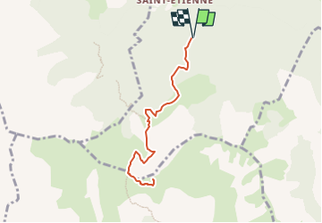

11.8 km | 19.7 km-effort

User


FREE GPS app for hiking
 SityTrail
IGN / Geographical institutes
SityTrail World
The world is yours!
Trail Walking of 8 km to be discovered at Provence-Alpes-Côte d'Azur, Hautes-Alpes, Poligny. This trail is proposed by Marco05.
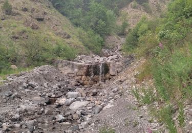
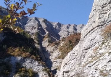
Départ dans le bois de Poligny.
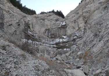
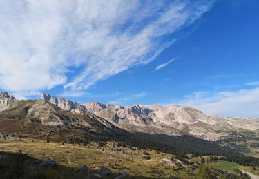
On peut s'arrêter au col de Chétive et revenir.
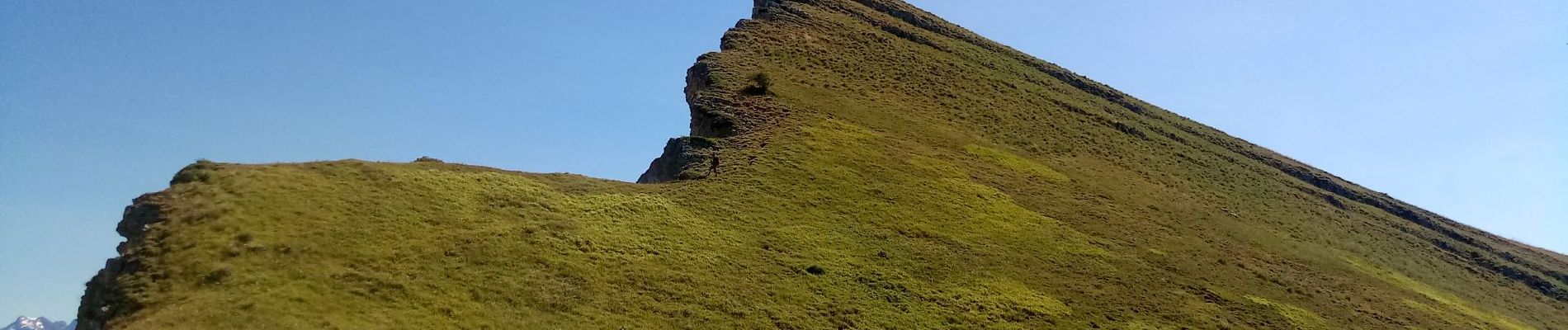
A cet endroit, il reste 160m de dénivelé pour arriver au sommet et il n'y a plus de sentier.
Il faut suivre ma trace GPS.


Walking
Walking

On foot
Walking
Walking

Walking
Walking
Walking
Walking