

les Sagnes du Plateau de Bayard. (20-01-19)A prox

Dervalmarc
User

Length
9.3 km

Max alt
1290 m

Uphill gradient
220 m

Km-Effort
12.2 km

Min alt
1129 m

Downhill gradient
220 m
Boucle
Yes
Creation date :
2019-05-06 10:24:17.002
Updated on :
2019-05-06 10:24:17.002
1h47
Difficulty : Easy

FREE GPS app for hiking
About
Trail Walking of 9.3 km to be discovered at Provence-Alpes-Côte d'Azur, Hautes-Alpes, Laye. This trail is proposed by Dervalmarc.
Description
A proximité du plateau de Bayard on trouve des marais naturels appelés Sagnes en patois local.
Ce milieu présente une grande diversité et une richesse animale et végétale rare, et parfois unique en région paca.
Positioning
Country:
France
Region :
Provence-Alpes-Côte d'Azur
Department/Province :
Hautes-Alpes
Municipality :
Laye
Location:
Unknown
Start:(Dec)
Start:(UTM)
268880 ; 4947144 (32T) N.
Comments
Trails nearby

Sentier de la Cuque prolongé


Walking
Very easy
(1)
Laye,
Provence-Alpes-Côte d'Azur,
Hautes-Alpes,
France

11.8 km | 19.7 km-effort
2h 24min
Yes

St Laurent du Cros 27/01/24


Walking
Easy
Saint-Laurent-du-Cros,
Provence-Alpes-Côte d'Azur,
Hautes-Alpes,
France

6.9 km | 9.2 km-effort
2h 4min
Yes
3-pics-gleize_randonnee-40057005


Walking
Difficult
Gap,
Provence-Alpes-Côte d'Azur,
Hautes-Alpes,
France

6.9 km | 13.7 km-effort
3h 6min
Yes
Le Bois Vert Station de Laye


Walking
Medium
(1)
La Fare-en-Champsaur,
Provence-Alpes-Côte d'Azur,
Hautes-Alpes,
France

9.1 km | 13.1 km-effort
2h 44min
Yes
Sommet du Chamois


Walking
Difficult
Poligny,
Provence-Alpes-Côte d'Azur,
Hautes-Alpes,
France

8 km | 18.6 km-effort
4h 13min
Yes
Pic de Gleize


Walking
Medium
Gap,
Provence-Alpes-Côte d'Azur,
Hautes-Alpes,
France

4.8 km | 10.6 km-effort
2h 25min
Yes
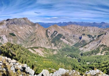
2021-09-28_502396886_Pic Melette


Walking
Very difficult
(1)
Gap,
Provence-Alpes-Côte d'Azur,
Hautes-Alpes,
France

15.2 km | 24 km-effort
5h 26min
Yes
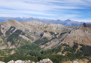
pic melette


Walking
Easy
Gap,
Provence-Alpes-Côte d'Azur,
Hautes-Alpes,
France

13 km | 21 km-effort
6h 48min
Yes
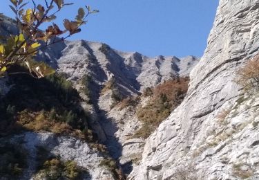
Le Girolet


Walking
Medium
La Fare-en-Champsaur,
Provence-Alpes-Côte d'Azur,
Hautes-Alpes,
France

11.6 km | 24 km-effort
4h 45min
Yes


 SityTrail


