


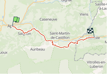

51 km | 61 km-effort

User


FREE GPS app for hiking
 SityTrail
IGN / Geographical institutes
SityTrail World
The world is yours!
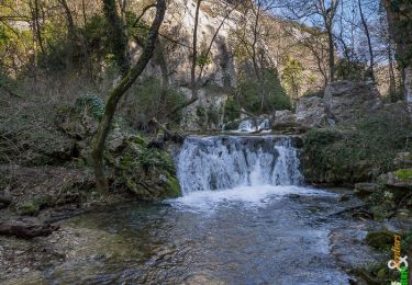
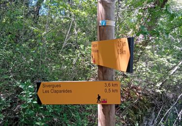
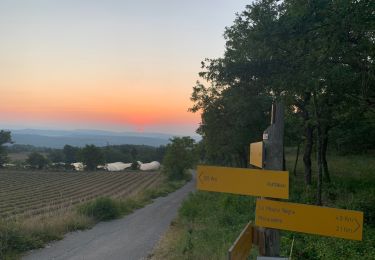
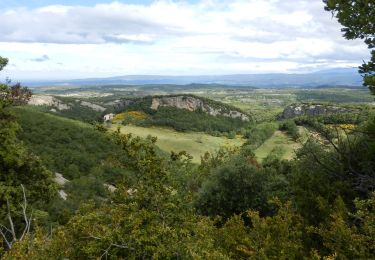
Trail Walking of 21 km to be discovered at Provence-Alpes-Côte d'Azur, Vaucluse, Apt. This trail is proposed by patrickdanilo.
Randonnée Marche de 21 km à découvrir à Provence-Alpes-Côte d'Azur, Vaucluse, Apt. Cette randonnée est proposée par patrickdanilo.


Cycle

Walking

Walking
Cycle
Walking

Walking
Walking
Walking
Walking