Trail Walking Lamazière-Haute - Eygurande-140630 - Lamazière-VieillesPierres-Bruyères - Photo

Eygurande-140630 - Lamazière-VieillesPierres-Bruyères

 randodan
randodan

User

© OpenStreetMap contributors
Length
Length
14.4 km
Max alt
Max alt
912 m
Uphill gradient
Uphill gradient
293 m
Km-Effort
Km-Effort  
18.3 km
Min alt
Min alt
790 m
Downhill gradient
Downhill gradient
288 m
Boucle
Boucle
Yes
Creation date :
2014-12-10 00:00:00.0
Updated on :
2014-12-10 00:00:00.0

(0 Reviews)

Walking
Walking
5h00
Difficulty : Easy

Scan this QR Code to open this trail in the SityTrail application

FREE GPS app for hiking

Logo SityTrail SityTrail

IGN / Geographical institutes

Download SityTrail from the App Store Download SityTrail from Google Play

Logo SityTrail SityTrail World

The world is yours!

Download SityTrail from the App Store Download SityTrail from Google Play Download SityTrail on Huawei AppGallery

About

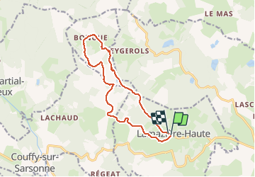
Trail Walking of 14.4 km to be discovered at New Aquitaine, Corrèze, Lamazière-Haute. This trail is proposed by randodan.

Description

Eygurande, 30 juin 2014<br>
- Circuit des Vieilles Pierres et des Bruyères -<br>
9h30, départ de Lamazière . Beaucoup de bitume sur ce circuit, on démarre donc par de la route jusqu'au Monteil ; en fait le macadam se poursuit jusqu'au pied du Vareyron.<br>
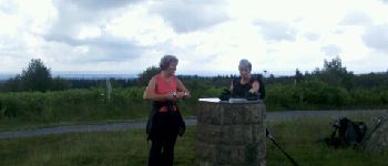
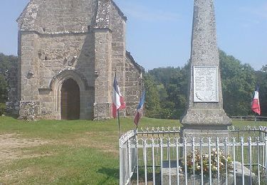
11h, devant la table d'orientation au sommet du Puy du Vareyron, 915 m . Le panorama : Puy de Sancy, Puy de Dôme, Mont Dore . Descente "radillonne" sur Bongue.<br>
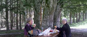
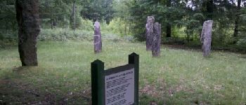
Midi et quart, à table à la Croix des 4 Arbres.<br>
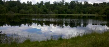
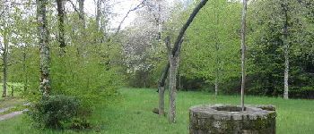
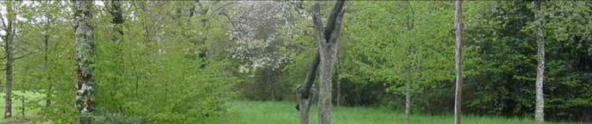
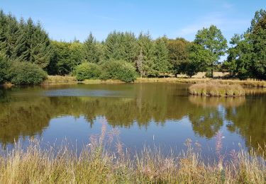
Tantôt piste forestière, tantôt route goudronnée, on traverse l'Arborétum des Agriers . Dommage que le panneau explicatif ne fût qu'à la sortie . Côté champignons, ce ne sont toujours, hélas, que des amanites . Chez Nanet, ya le plan d'eau, mais, zut, on a loupé le puits à banlève . La Plaine des Filles, Josette me fait remarquer que c'est le mec qui est le plus grand... normal que je dis ;o).<br>
14h30 à la voiture.<br>
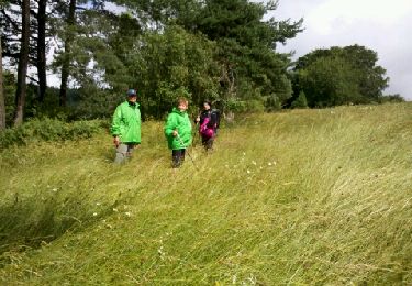
Ce fut alternances de nuages - pas méchants - et soleil.<br>
3 participants (Jo,MaJea,Da).

Elevation profile

Photos

Points of interest

Point of interest Lamazière-Haute - 1 - Puy du Vareyron - Photo
randodan
LAMAZIÈRE-HAUTE 
Point of interest Lamazière-Haute - 2 - La Croix des 4 Arbres - Photo
randodan
LAMAZIÈRE-HAUTE 
Point of interest Lamazière-Haute - 3 - Chez Nanet - Photo
randodan
LAMAZIÈRE-HAUTE 
Point of interest Lamazière-Haute - 5 - La Plaine des Filles - Photo
randodan
LAMAZIÈRE-HAUTE 
Point of interest Lamazière-Haute - 4 - Chez Nanet - Photo
randodan
LAMAZIÈRE-HAUTE 

Positioning

Country:
France
Region :
New Aquitaine
Department/Province :
Corrèze
Municipality :
Lamazière-Haute
Location:
Unknown
Start:(UTM)
452876 ; 5057630 (31T) N.

Trails nearby

Trail Walking Courteix - Eygurande-140629 - Courteix-Templiers - Photo
Walking
randodan

Walking

Easy
Courteix, New Aquitaine, Corrèze, France
8.6 km | 11 km-effort
2h 20min
Yes
Trail Walking Aix - La Vergne et les étangs - Photo
Walking
viam19

Walking

Easy
Aix, New Aquitaine, Corrèze, France
11.2 km | 14.2 km-effort
3h 3min
Yes
Trail Mountain bike Courteix - Les Templiers - Courteix - Pays de Haute Corrèze - Photo
Mountain bike
tracegps

Mountain bike

Medium
Courteix, New Aquitaine, Corrèze, France
9.7 km | 12.5 km-effort
45min
Yes
Trail Walking Courteix - Les Templiers - Courteix - Pays de Haute Corrèze - Photo
Walking
tracegps

Walking

Medium
Courteix, New Aquitaine, Corrèze, France
9.7 km | 12.5 km-effort
2h 30min
Yes
Trail Walking Courteix - SityTrail - Les Templiers - Courteix - Pays de Haute Corrèze - Photo
Walking
vitius

Walking

Difficult
Courteix, New Aquitaine, Corrèze, France
13.9 km | 18.6 km-effort
4h 13min
Yes
Trail Walking Lamazière-Haute - 1 - Photo
Walking
guy.presier

Walking

Easy
Lamazière-Haute, New Aquitaine, Corrèze, France
4.4 km | 5.4 km-effort
1h 45min
Yes
Trail Walking Lamazière-Haute - sa - Photo
Walking
Moureau

Walking

Very easy
Lamazière-Haute, New Aquitaine, Corrèze, France
22 km | 28 km-effort
6h 49min
Yes


Close
My subscriptions