Trail Touring skiing Allemond - Brèche de la Roche fendue Est - Photo

Brèche de la Roche fendue Est

 nadd73
nadd73

User

© OpenStreetMap contributors
Length
Length
10 km
Max alt
Max alt
2477 m
Uphill gradient
Uphill gradient
1205 m
Km-Effort
Km-Effort  
26 km
Min alt
Min alt
1261 m
Downhill gradient
Downhill gradient
1204 m
Boucle
Boucle
Yes
Creation date :
2022-04-10 07:09:44.009
Updated on :
2022-04-10 14:06:10.374

(0 Reviews)

Touring skiing
Touring skiing
3h47
Difficulty : Medium

Scan this QR Code to open this trail in the SityTrail application

FREE GPS app for hiking

Logo SityTrail SityTrail

IGN / Geographical institutes

Download SityTrail from the App Store Download SityTrail from Google Play

Logo SityTrail SityTrail World

The world is yours!

Download SityTrail from the App Store Download SityTrail from Google Play Download SityTrail on Huawei AppGallery

About

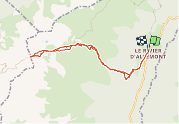
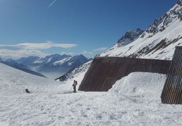
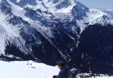
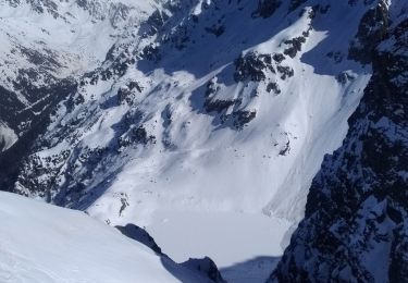
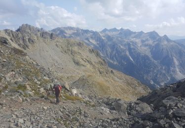
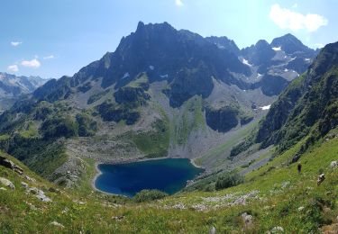
Trail Touring skiing of 10 km to be discovered at Auvergne-Rhône-Alpes, Isère, Allemond. This trail is proposed by nadd73.

Description

Départ du Rivier d'Allemond.
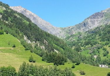
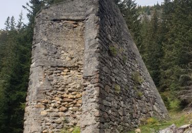
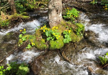
Dans la forêt j'ai mis les skis sur le sac, pas assez de neige. Portage 250m.
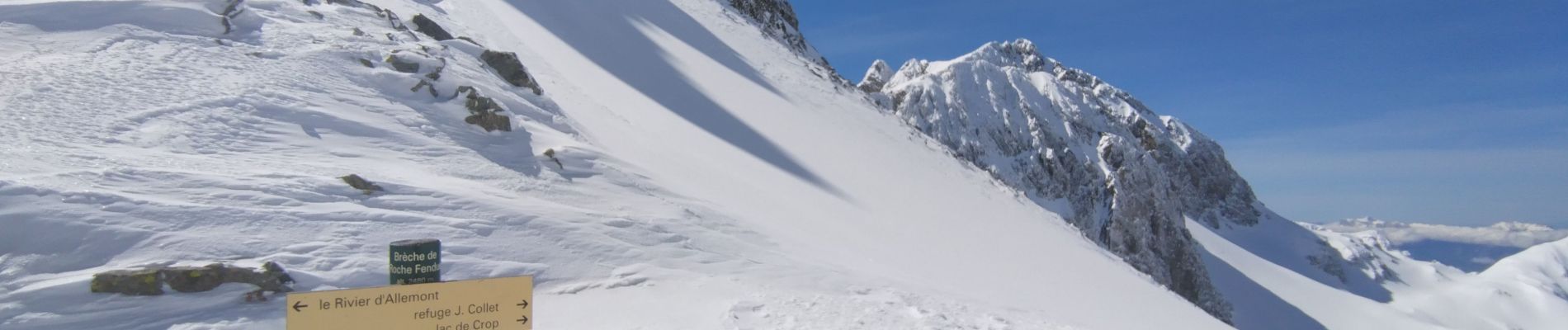
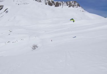
Ensuite Une bonne trace et la descente jusqu'à la forêt : excellente ! De la poudre. Vue qu'il neige depuis 2jours.

Elevation profile

Photos

Positioning

Country:
France
Region :
Auvergne-Rhône-Alpes
Department/Province :
Isère
Municipality :
Allemond
Location:
Unknown
Start:(UTM)
267551 ; 5009740 (32T) N.

Trails nearby

Trail Walking Vaujany - Tour des Aiguillettes de Vaujany - Col du Couard - Col du sabot - Photo
Walking
patjobou

Walking

Medium
(1)
Vaujany, Auvergne-Rhône-Alpes, Isère, France
12.8 km | 26 km-effort
5h 16min
Yes
Trail Touring skiing Vaujany - Aiguillettes de Vaujany et plus - Photo
Touring skiing
nadd73

Touring skiing

Easy
Vaujany, Auvergne-Rhône-Alpes, Isère, France
12.6 km | 31 km-effort
5h 0min
Yes
Trail Snowshoes Vaujany - Col du Sabot  - Photo
Snowshoes
ranchoup

Snowshoes

Difficult
Vaujany, Auvergne-Rhône-Alpes, Isère, France
10.5 km | 20 km-effort
5h 41min
Yes
Trail Walking Laval-en-Belledonne - boucle lac de croq col de la mine de fer - Photo
Walking
tyax93

Walking

Medium
Laval-en-Belledonne, Auvergne-Rhône-Alpes, Isère, France
16.4 km | 35 km-effort
6h 40min
Yes
Trail Walking Laval-en-Belledonne - Lac de Crop - Photo
Walking
chamouilley

Walking

Medium
Laval-en-Belledonne, Auvergne-Rhône-Alpes, Isère, France
9.3 km | 17.7 km-effort
3h 6min
Yes
Trail Touring skiing Les Adrets - le jas de lièvre et vol de Bédina - Photo
Touring skiing
nadd73

Touring skiing

Difficult
Les Adrets, Auvergne-Rhône-Alpes, Isère, France
12.6 km | 30 km-effort
7h 10min
Yes
Trail Touring skiing Laval-en-Belledonne - col du Rafour et couloir ouest de la montagne de Barlet - Photo
Touring skiing
nadd73

Touring skiing

Difficult
Laval-en-Belledonne, Auvergne-Rhône-Alpes, Isère, France
10.9 km | 26 km-effort
6h 29min
No
Trail Walking Laval-en-Belledonne - Tour du Ferrouillet - Photo
Walking
ranchoup

Walking

Difficult
Laval-en-Belledonne, Auvergne-Rhône-Alpes, Isère, France
15.2 km | 33 km-effort
9h 0min
Yes
Trail Walking Laval-en-Belledonne - Lac de Crop - Le Rafour - Orionde - Photo
Walking
patjobou

Walking

Difficult
Laval-en-Belledonne, Auvergne-Rhône-Alpes, Isère, France
11.2 km | 24 km-effort
5h 50min
Yes


Close
My subscriptions