


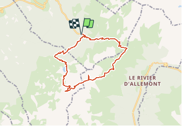

12.4 km | 21 km-effort

User


FREE GPS app for hiking
 SityTrail
IGN / Geographical institutes
SityTrail World
The world is yours!
Trail Walking of 15.2 km to be discovered at Auvergne-Rhône-Alpes, Isère, Laval-en-Belledonne. This trail is proposed by ranchoup.
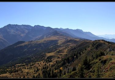
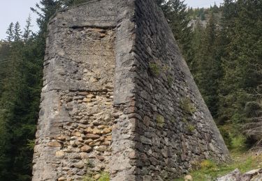
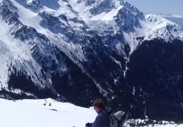
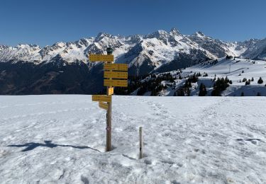
Belle rando d'endurance avec ambiance haute montagne : Pont de la Betta, Pas de la Coche, brèche de Pierre Fendue, Col de la Mine de Fer, lac de Crop.
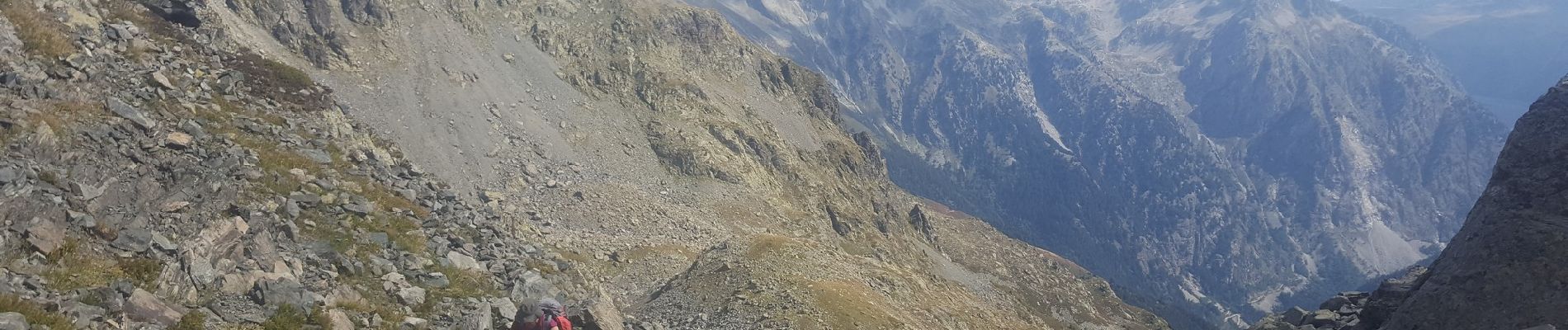
Chemin bien tracé, minéral dans l'accès aux cols et la descente vers le lac de Crop (superbe vue) , quelques passages avec vue plongeante entre Pierre Fendue et Col de la Mine de Fer.
Prévoir 9h avec les arrêts.
A faire plutôt en août .
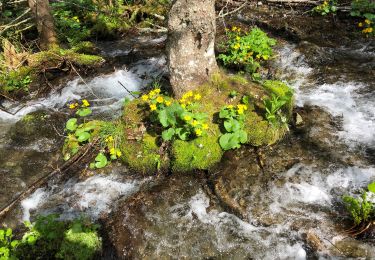
Avant d'atteindre la brèche de Pierre Fendue, on peut faire un petit écart pour aller voir les 3 Laux de plus près ; dommage, ils étaient quasiment à sec mi septembre 2020.


Walking
Walking
Touring skiing
Walking
Walking
On foot
Walking
Touring skiing
Snowshoes