


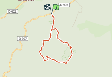

12.6 km | 18.8 km-effort

User


FREE GPS app for hiking
 SityTrail
IGN / Geographical institutes
SityTrail World
The world is yours!
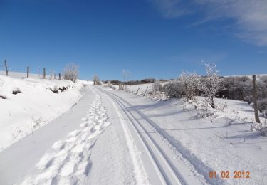
Trail Walking of 7.3 km to be discovered at Occitania, Tarn, Lacaune. This trail is proposed by cedric.fargues.


Walking
Walking

Snowshoes

Mountain bike
Walking
Walking
Walking

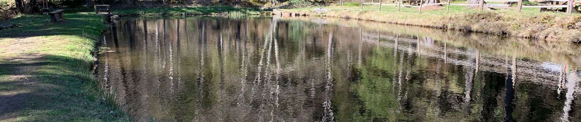
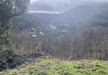
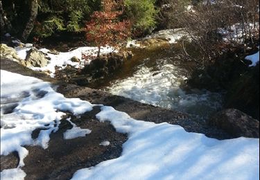
On a hésité à se garer sur le grand parking. Des messages nous prévenant qu'il y allait y avoir des recherches à partit de 18h. En fait, ce sont des messages pour les skieurs de fond qui ne sont pas retirés en été. Sinon belle ballade. Un petit kilomètre que l'on partagé avec des voitures ....et la poussière qu'elles transportent : -)